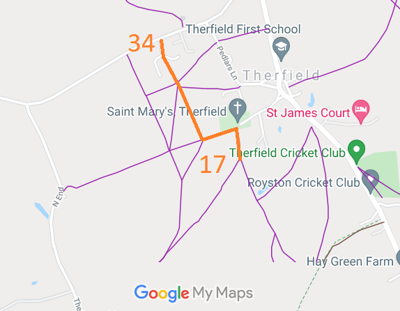
Annotated map reproduced courtesy of Googlemaps.
At the time of the BHS 2021 Access Survey (12 Sep 21), no gates were across the path. There were various waymark arrows showing the definitive map status. There was no signage to indicate the unrecorded section wasn't a path.
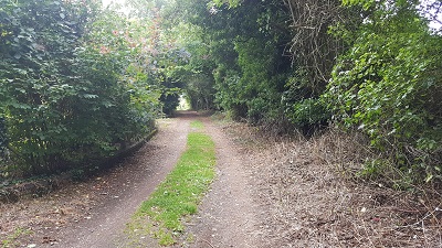
1. Therfield 34 from road
Photo: Phil Wadey, 12 Sep 2021
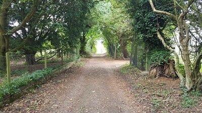
2. View southeastwards along route
Photo: Phil Wadey, 12 Sep 2021
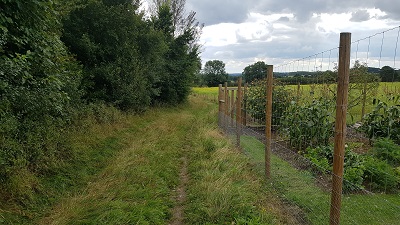
3. Continuing southeastwards
Photo: Phil Wadey, 12 Sep 2021
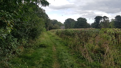
4. Therfield 17: Heading eastwards
Photo: Phil Wadey, 12 Sep 2021
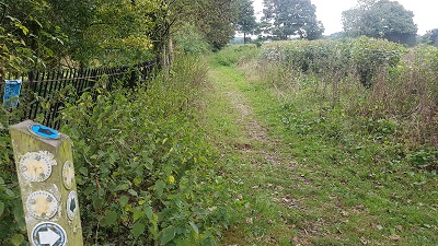
5. Therfield 17: Heading southwards
Photo: Phil Wadey, 12 Sep 2021
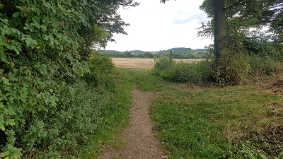
6. Therfield 17: Heading southwards
Photo: Phil Wadey, 12 Sep 2021
 As part of the British Horse Society's work to record paths before
Path Extinguishment Day,
it was spotted that the route was not subject to tithes, was recorded as a road in the 1877 Area Book for Therfield, and a tax exemption was claimed during the Finance Act 1910 valuation. As the historical evidence showed a continuous route over so many years, an application was made in 2021 to record the route.
