
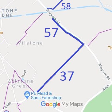
- Tring Rural 37 BW from B489 to Tring Rural 57 BW
- Tring Rural 57 BW from Tring Rural 37 BW to Wingrave Road
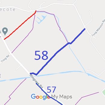
- Tring Rural 58 BW from Wingrave Road to county boundary then to Long Marston Road
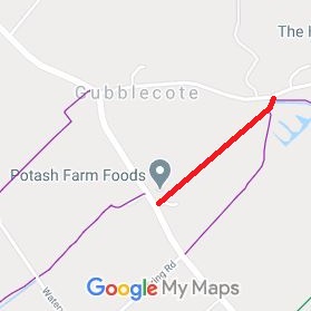
- Tring Rural route from Lukes Lane to Wingrave Road (Grubblecote)
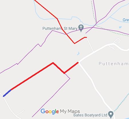
- Tring Rural route from Puttenham to county boundary and Buckland 3/1 BW
- Tring Rural Mead Lane, route from Puttenham generally north westwards

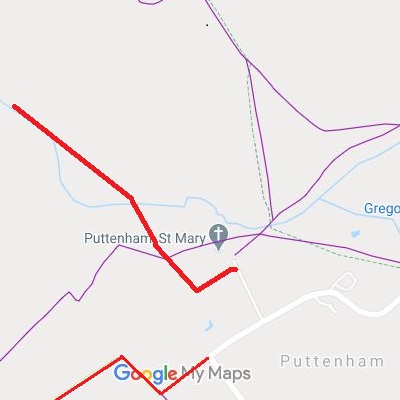
Annotated maps reproduced courtesy of Googlemaps.


 Local Government: Both Puttenham and Tring Rural were formerly within Berkhamsted Rural District.
Subsequently, Puttenham was incorporated into Tring Rural parish.
From 1974, part of Dacorum District.
Inclosure (Puttenham) (1816).
