Paths Greenways Bridleways Tracks
 PG: OBJECTS: PROMOTION: DACORUM: Tring Rural Lukes Lane to Wingrave Road
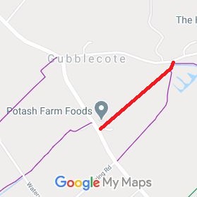
Map showing Tring Rural path
Annotated map reproduced courtesy of Googlemaps.
This route runs from Lukes Lane generally south-westwards to Wingrave Road.
Tring Rural UCR1
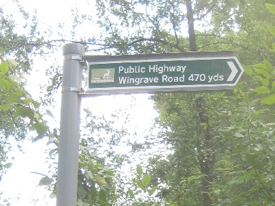
1. Tring Rural: Sign at Lukes Lane
Photo: Phil Wadey, 23 Aug 2014
Tring Rural UCR1
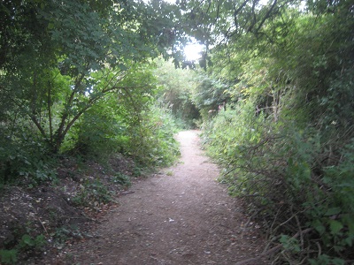
2. Heading Southwestwards
Photo: Phil Wadey, 23 Aug 2014
Tring Rural UCR1
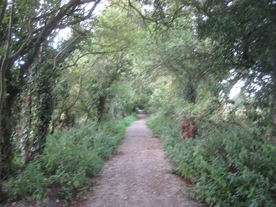
3. Heading Southwestwards
Photo: Phil Wadey, 23 Aug 2014
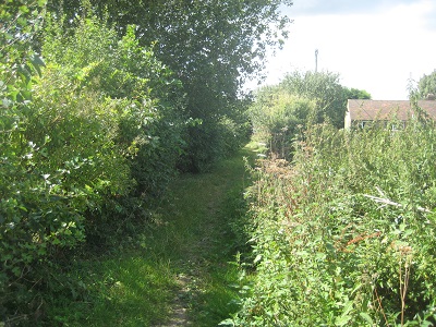
Tring Rural UCR1
4. Heading Southwestwards
Photo: Phil Wadey, 23 Aug 2014
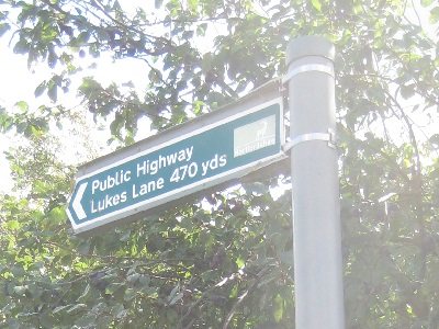
Tring Rural UCR1
5. Sign at Wingrave Road
Photo: Phil Wadey, 23 Aug 2014

Legal History
20 Jun 1953: The route was not shown on the original definitive map and statement. DM sheets DM3-02 and DM3-10.
31 Dec 1977: The route was not shown on the special review draft map and statement. DM sheets SR-37 and SR-51.
20 Mar 2013: Application made to record path. HCC reference DAC/130.
Definitive Statement
This route is not yet recorded in the definitive map and statement.
It is recorded on the List of Streets.

© 2020 Patchetts Green Bridleways Trust. File reference: EC642