Paths Greenways Bridleways Tracks
 PG: OBJECTS: PROMOTION: Watford Rural 5
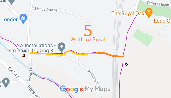
Map showing recorded Watford Rural paths
Annotated map reproduced courtesy of Googlemaps.
This route appears to be in use by cyclists and some riders. It runs from Watford Rural 6 generally westwards, over a railway bridge (which has good width) to and along The Pathway and Anthony Close to Green Lane (public road) opposite Watford Rural 4.

At the time of the BHS 2021 Access Survey (16 Oct 21), there had been some narrowing of the route across ralway land, except for the bridge itself and there was a short narrow section between the bridge and The Pathway. Five cyclists were passed on the bridge showing it to be a popular cycling route.
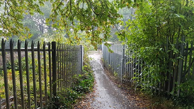
Photograph of Watford Rural 5
1. View west from Watford Rural 6.
Photo: Phil Wadey, 16 Oct 2021
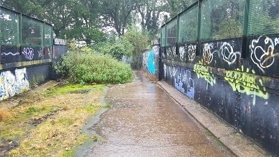
Photograph of Watford Rural 5
2. Wide bridge over railway
Photo: Phil Wadey, 16 Oct 2021
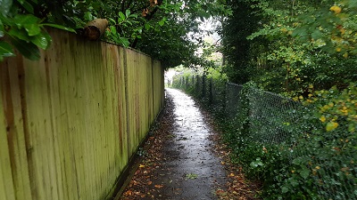
Photograph of Watford Rural 5
3. Approaching The Pathway
Photo: Phil Wadey, 16 Oct 2021
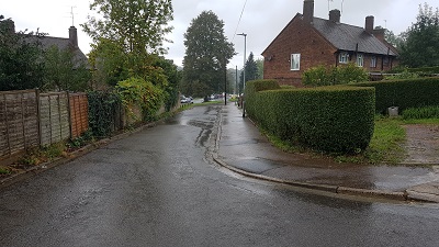
Photograph of Watford Rural 5
4. The Pathway
Photo: Phil Wadey, 16 Oct 2021
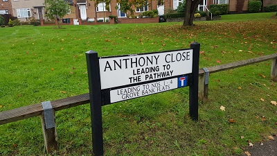
Photograph of Watford Rural 5
5. Sign at junction with Green Lane
Photo: Phil Wadey, 16 Oct 2021

Legal History
20 Jun 1953: The route was recorded as a footpath on the original definitive map and statement. DM sheet DM3-43 (Herts 44 SW, TQ19SW).
Definitive Statement (4 Dec 2015)
Path: [Watford Rural] 5.  Recorded Status: Footpath.  Definitive Map sheet: 90
Commences at junction with Green Lane opposite FP4 thence E over a new road called Anthony Close thence E over Railway Bridge to junction with FP6 on E side of railway.
Maintainability
This route is maintainable at the public expense because it was a footpath or bridleway existing before 30 Apr 1959.

© 2025 Patchetts Green Bridleways Trust. File reference: EC471.

Stats2