
Annotated map reproduced courtesy of Googlemaps.
At the time of the 2022 Access Survey (20 Mar 22), there were horse stiles and signposts at each end. It was a pleasant route to use although overgrown in places.

SIgn at Marford Road end
Photo: Phil Wadey, 20 Mar 2022
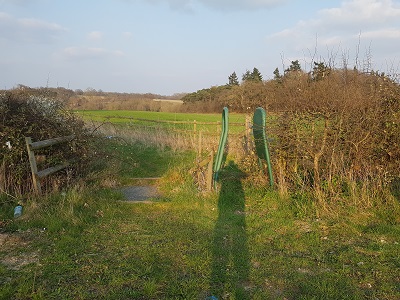
Horse stile, Marford Road end
Photo: Phil Wadey, 20 Mar 2022

View North-East along path
Photo: Phil Wadey, 20 Mar 2022

View North-East along path
Photo: Phil Wadey, 20 Mar 2022

Step-over gate, Northern end
Photo: Phil Wadey, 20 Mar 2022

Sign at northern end
Photo: Phil Wadey, 20 Mar 2022
 The Hertfordshire County Council (Rights of Way Service) negotiated a thirty year permisive path agreement with the landowners. The path was opened in 2014. The British Horse Society and the Patchetts Green Bridleways Trust thanks the County Council for its action here.
