| Paths Greenways Bridleways Tracks | ||
| PG: OBJECTS: PROMOTION: Wyddial Moles Lane | ||
| We're collecting user evidence for the council now: Download user evidence form - Read the Instructions | ||
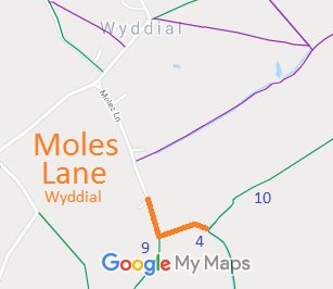
![]() Annotated map reproduced courtesy of Googlemaps. |
This route starts at the end of the metalled Moles Lane, next to the entrance to the farm. It runs generally southwards to a junction with Wyddial 9 bridleway. It then turns generally eastwards to a junction with Buntingford 4 bridleway and along this route to end at a junction with Wyddial 10 bridleway. | |||
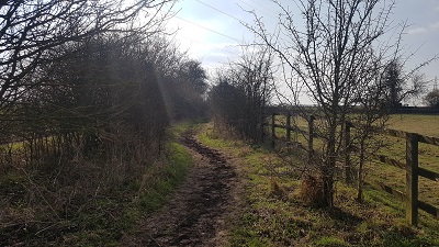
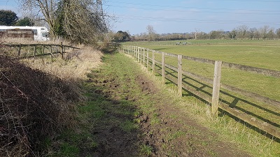
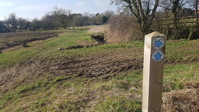
View from junction BW 4 and 107 Mar 2021 |
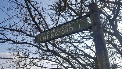
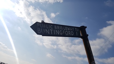
Sign at eastern 'corner'7 Mar 2021 |
View west towards BW 97 Mar 2021 |
Sign at junction with BW 97 Mar 2021 |
View north from BW 97 Mar 2021 |
As part of the British Horse Society's and the Ramblers' work to record paths before Path Extinguishment Day,
it was spotted that Buntingford 4 did not reach the road (Moles Lane) as shown on the county council's List of Streets. The historical evidence showed a continuous route from the metalled part of Moles Lane to Buntingford 4, so an application was made in 2021 to record the gap.
| ||||
| If you have ridden the route, please download a user evidence form and then follow the instructions and return the form to us. It only takes a few minutes to fill in (the whole form fits on one side of a piece of A4 paper). If you have any other questions, please email us. | ||||
|
| ||||||||||||||||||||||||||||||
© 2024 Patchetts Green Bridleways Trust. File reference: EC913. HCC reference: EH/503.