
- Baldock 20 & 21 BOAT, California (urban route)
- Baldock 22 BW, from South Road to Weston 1 BW
- Baldock 28 Crabtree Lane
- Baldock 31 Ashton's Lane
- Baldock 34 and Bygrave 2 BW from Bygrave Road to Bygrave 14 RB
- Baldock 39 and Letchworth 19 BW, Back Lane, from Weston Way under A1(M) to Baldock Road (B565)
- Baldock 42, from Baldock 39 north to B656
- Baldock Old Wallington Road, from Wallington Road to Clothall 27
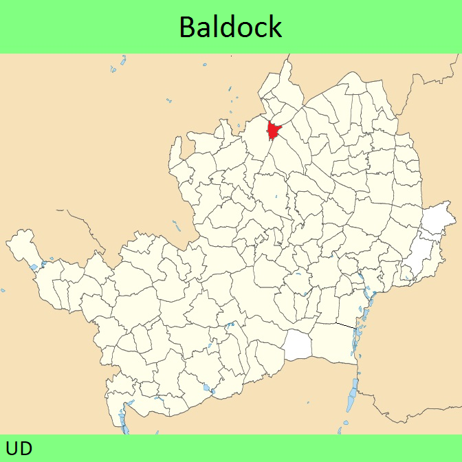
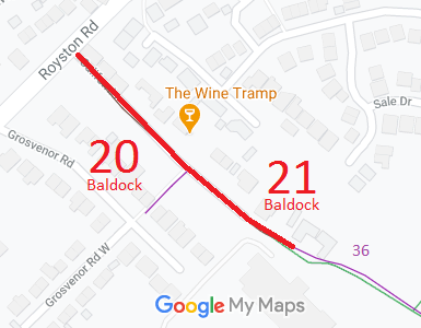

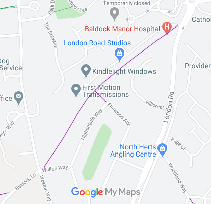
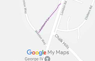
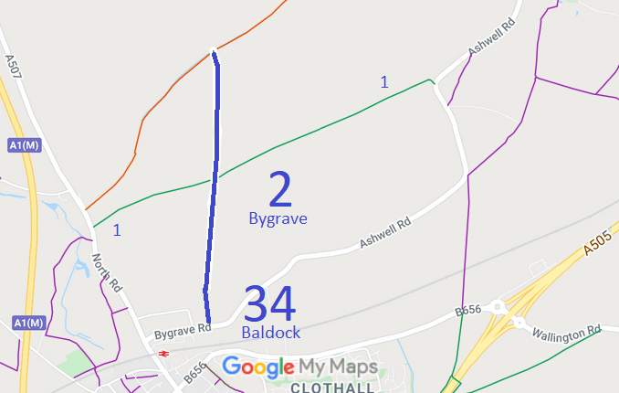

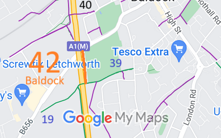
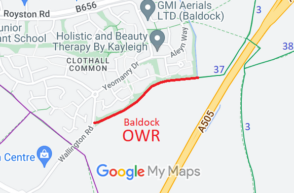
Annotated maps reproduced courtesy of Googlemaps.


 Local Government: Formerly within Baldock Urban District. From 1974, part of North Hertfordshire District. The western parish boundary moved east to align with the A1(M).
Tithe (c1850) DSA4/11/2.
 There is an adopted Neighbourhood Development Plan (2021) for Baldock, Bygrave and Clothall, which counts as part of the Local Development Plan when planning applications are considered.
 Rights of Way Improvement Plan suggestions:
Convert Letchworth Greenway footpath sections to bridleway:
Baldock 40, Letchworth 22 (part),
Baldock 42.

