Paths Greenways Bridleways Tracks
 PG: OBJECTS: PROMOTION: Baldock Old Wallington Road
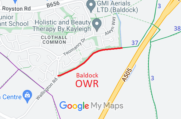
Map showing recorded Baldock and Clothall paths
Annotated map reproduced courtesy of Googlemaps.
This route is the old alignment of Wallington Road, prior to the construction of the A505 Baldock By-pass. It runs from its junction with Wallington Road generally northeastwards to end at Clothall 27 bridleway.

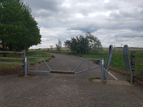
At the time of the BHS Access Survey (26 Apr 19), there were two gates across the path and no signposts at each end. The route was inaccessible to horse drawn vehicles.
Photograph of Old Wallington Road, Baldock
Gate at junction with Wallington Road
Photo: Phil Wadey, 26 Apr 2019
Photograph of Old Wallington Road, Baldock
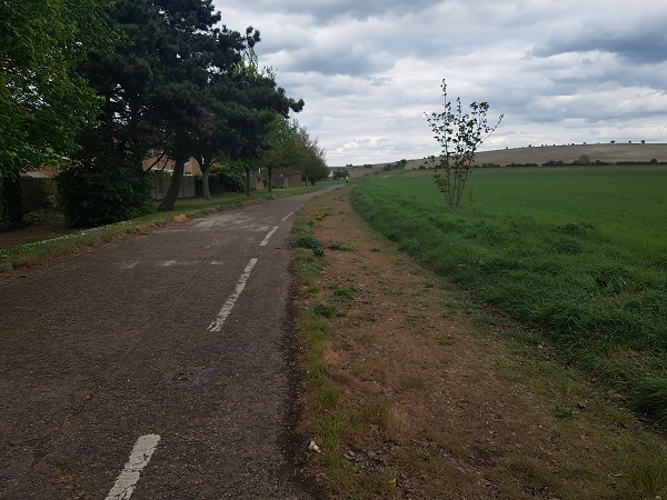
Part of former road grassed over
Photo: Phil Wadey, 26 Apr 2019
Photograph of Old Wallington Road, Baldock
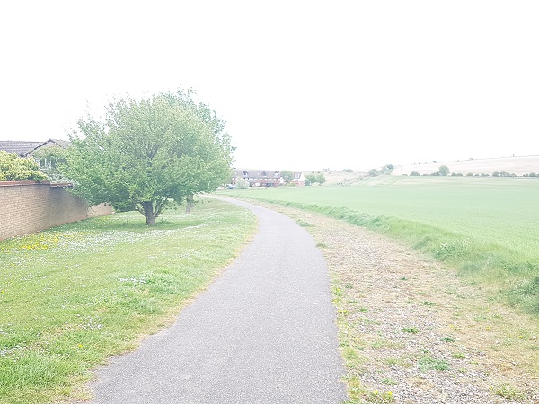
Heading NE. Pleasant views.
Photo: Phil Wadey, 26 Apr 2019
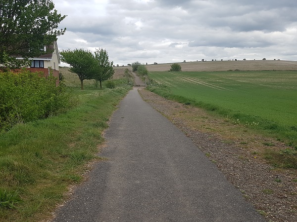
Photograph of Old Wallington Road, Baldock
Continuing NE
Photo: Phil Wadey, 26 Apr 2019
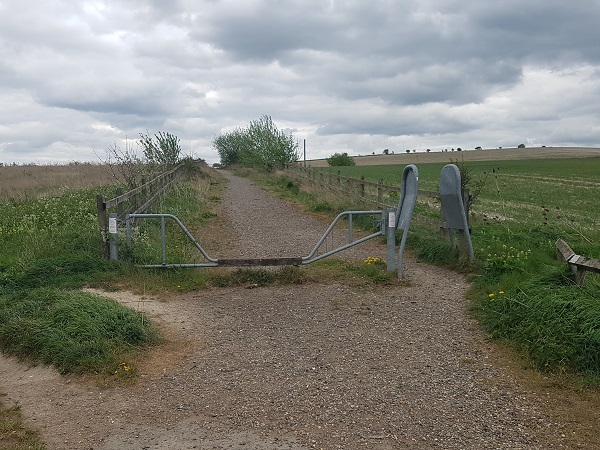
Photograph of Old Wallington Road, Baldock
Gate at junction with Clothall 27 BW
Photo: Phil Wadey, 26 Apr 2019
BHS As part of the British Horse Society's work to record paths before Path Extinguishment Day, it was spotted that this section of old road was inaccessible to motor traffic and so was in danger of being forgotten. It also provides the link to Clothall 27 bridleway which otherwise is a cul-de-sac. The historical evidence showed a continuous route, so an application was made in 2019 to record the route.

Legal History
12 Mar 2010: The Hertfordshire County Council (A505 Baldock Bypass) Legal Event Modification Order 2010 added Clothall 27 BW to the definitive map and statement.
7 May 2019: Application to record route as a restricted byway. HCC reference NH/315.
[This route is not yet recorded on the definitive map and so there is no definitive statement.]

© 2022 Patchetts Green Bridleways Trust. File reference: EC1048. HCC reference: NH/315.

Stats2