Paths Greenways Bridleways Tracks
 PG: OBJECTS: PROMOTION: Bovingdon 20 BOAT - Stoney Lane
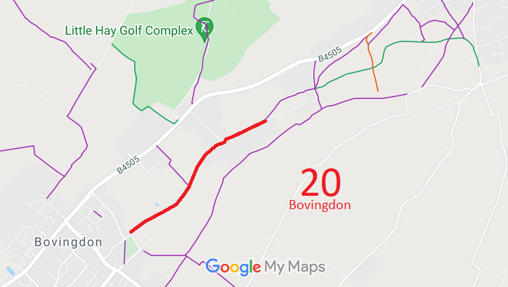
Map showing recorded Bovingdon paths
Annotated map reproduced courtesy of Googlemaps.
This route starts at a junction with Church Lane (public road) and heads generally northeastwards through a junction with Bushfield Road to meet Shothanger Way and Bury Rise (roads).

At the time of the BHS 2023 Access Survey (4 Feb 23), there were no gates or other obstructions across the route. It was signposted at each end.
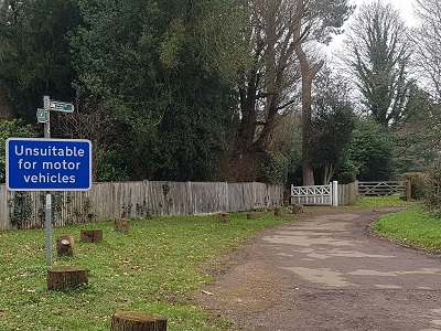
Bovingdon 20 Stoney Lane byway photo
View from Church Lane
Photo: Phil Wadey, 4 Feb 2023
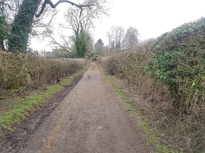
Bovingdon 20 Stoney Lane byway photo
Continuing NE
Photo: Phil Wadey, 4 Feb 2023
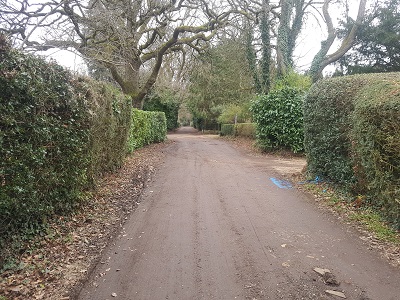
Bovingdon 20 Stoney Lane byway photo
Continuing NE
Photo: Phil Wadey, 4 Feb 2023
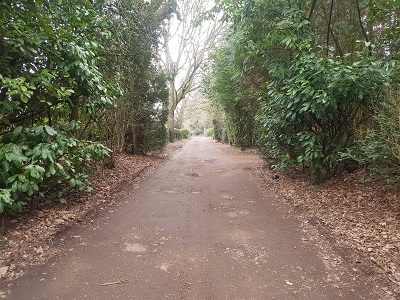
Bovingdon 20 Stoney Lane byway photo
Continuing NE
Photo: Phil Wadey, 4 Feb 2023
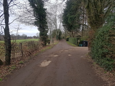
Bovingdon 20 Stoney Lane byway photo
Towards Shothanger Way
Photo: Phil Wadey, 4 Feb 2023

Legal History
20 Jun 1953: Bovingdon 20 was recorded as part CRF (Carriage Road used as a Footpath) and part footpath on the definitive map and statement. DM sheet DM3-28 (TL00SW).
31 Dec 1977: Bovingdon 20 was shown as part byway part bridleway on the special review draft map and statement, but the BW section reverted to FP. DM sheet SR-74 (TL00SW).
Definitive Statement (4 Dec 2015)
Path: [Bovingdon] 20.  Status: Byway Open to All Traffic / Footpath.  Definitive Map sheet: 74 (TL00SW)
Commences at junction with county road (Church Lane) thence NE as a BOAT along Stoney Lane to a point 720 yards NW of junction with FP21 thence NW as a FP past Lower Dads Wood to junction with FP's 18, 110 and 111 and BR132 at parish boundary.
Width: 10ft

© 2023 Patchetts Green Bridleways Trust. File reference: ECC455. HCC reference: DAC94.

Stats2