Paths Greenways Bridleways Tracks
 PG: OBJECTS: PROMOTION: Bovingdon Shothanger Way and Bury Rise
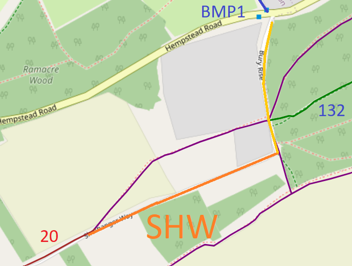
Map showing recorded paths
Map data from © OpenStreetMap and Hertfordshire County Council.
Shothanger Way starts from Bovingdon 20 byway and continues along a well defined track before becoming metalled and then continuing to the parish boundary. It then turns northwards, running along the parish boundary as a well defined roadway known as Bury Rise through junctions with a permissive bridleway and then Hemel Hempstead 132 bridleway before continuing along the roadway to end on Box Lane (public road) opposite Bovingdon BMP1, a Box Moor Trust Permissive Bridleway.

At the time of the BHS 2023 Access Survey (4 Feb 23) there were no obstructions to use of the path. There was a 'private road' sign at the northern end of Bury Rise.
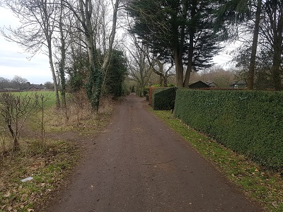
Photograph of Shothanger Way, Bovingdon
View from Bovingdon 20
Photo: Phil Wadey, 4 Feb 2023
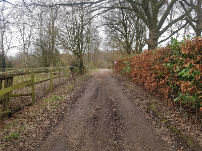
Photograph of Shothanger Way, Bovingdon
Continuing eastwards
Photo: Phil Wadey, 4 Feb 2023
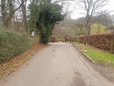
Photograph of Bushfield Road, Bovingdon
Continuing eastwards
Photo: Phil Wadey, 4 Feb 2023
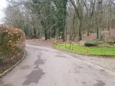
Photograph of Bury Rise, Bovingdon
Turning N onto Bury Rise
Photo: Phil Wadey, 4 Feb 2023
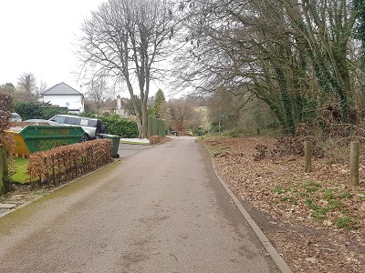
Photograph of Bury Rise, Bovingdon
Continuing northwards
Photo: Phil Wadey, 4 Feb 2023
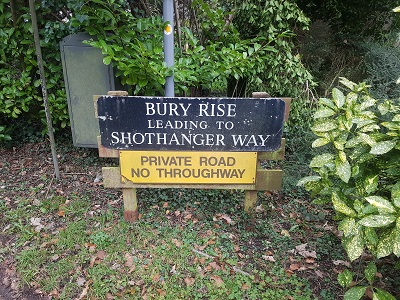
Photograph of Bury Rise sign, Bovingdon
Sign at Box Lane junction
Photo: Phil Wadey, 4 Feb 2023
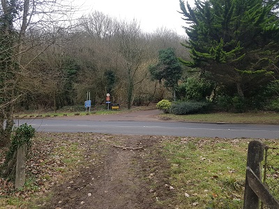
Photograph of Bury Rise from Box Moor Trust permissive path at Box Lane, Bovingdon
View from Box Lane and BMP1
Photo: Phil Wadey, 4 Feb 2023

Legal History
20 Jun 1953: Shothanger Way was not recorded on the original definitive map and statement. A short part of Bury Rise was recorded as footpath. DM sheet DM3-28 (TL00SW).

© 2023 Patchetts Green Bridleways Trust. File reference: EC455A.

Stats2