Paths Greenways Bridleways Tracks
 PG: OBJECTS: PROMOTION: Bovingdon BMP1 - Box Moor Trust Permissive Bridleway
Map showing recorded paths
Map data from © OpenStreetMap and Hertfordshire County Council.
This permissive bridleway, courtesy of the Box Moor Trust, starts from the B4505 Box Lane/Hempstead Road opposite Bury Rise and runs generally northwards before turning eastwards and reaching the parish boundary. It continues eastwards but the Hemel Hempstead route write up has not yet been completed.

At the time of the BHS 2023 Access Survey (4 Feb 23), there was one bridlegate across the path, and it opened easily from both directions. There was a 'permissive bridleway' sign at the southern end.
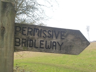
Photograph of Box Moor Trust permissive bridleway in Bovingdon
Sign from Road
Photo: Phil Wadey, 4 Feb 2023
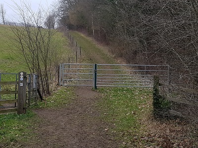
Photograph of Box Moor Trust permissive bridleway in Bovingdon
View from Road
Photo: Phil Wadey, 4 Feb 2023
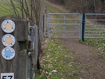
Photograph of Box Moor Trust permissive bridleway in Bovingdon
Waymark and Bridlegate
Photo: Phil Wadey, 4 Feb 2023
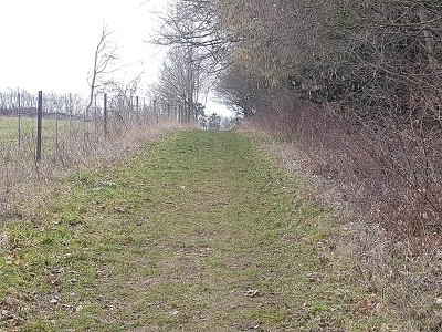
Photograph of Box Moor Trust permissive bridleway in Bovingdon
Continuing North
Photo: Phil Wadey, 4 Feb 2023
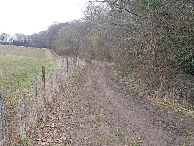
Photograph of Box Moor Trust permissive bridleway in Bovingdon
Turning Eastwards
Photo: Phil Wadey, 4 Feb 2023

Legal History

© 2023 Patchetts Green Bridleways Trust.

Stats2