| Paths Greenways Bridleways Tracks | ||
| PG: OBJECTS: PROMOTION: Bygrave 16 BW and Rushden and Wallington 48 BW (A505 underpass) | ||
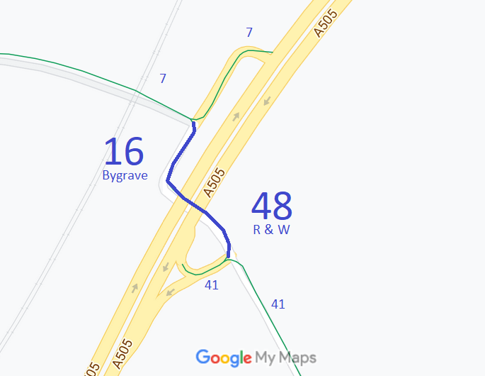
![]() Annotated map reproduced courtesy of Googlemaps. |
This bridleway enables the A505 to be crossed in an underbridge when passing from
Rushden and Wallington 41 bridleway to
Bygrave 7 bridleway. The route is shared with motor traffic going to the farms at either end of the bridleway and the biodigester on the southeastern end of the crossing.
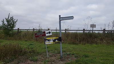
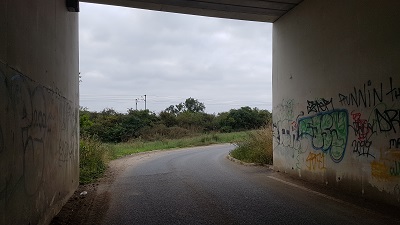
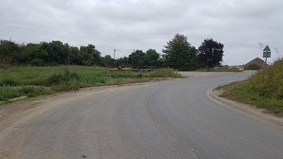
At the time of the 2021 Access Survey (2 Sep 21), no gates were across the path and all signposts for this route were missing. There were signs showing the direction of Rushdon and Wallington 41. The underbridge has a good height. The photographs illustrate the route from east to west. |
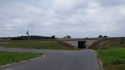
![]() Looking NW at junction BW41 and BW48 Photo: Phil Wadey, 2 Sep 2021 |
||
![]() Sign points along BW 48. No sign for BW 41. Photo: Phil Wadey, 2 Sep 2021 |
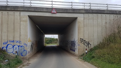
![]() A505 Underbridge Entrance Photo: Phil Wadey, 2 Sep 2021 |
![]() A505 Underbridge Exit Photo: Phil Wadey, 2 Sep 2021 |
![]() Looking NE towards BW 7 junction Photo: Phil Wadey, 2 Sep 2021 |
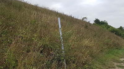
![]() Pole at junction of BW 7 and BW 16. No signs. Photo: Phil Wadey, 2 Sep 2021 |
| Legal History 1 Nov 1953: Bygrave 7 and Wallington 21 were recorded as bridleways on the original definitive map and statement. DM sheet DM4-19. 31 Dec 1977: Bygrave 7 and Wallington 21 were shown as a bridleway on the special review draft map and statement. DM sheet SR-6. When the Icknield Way (A505) was dualled, an underpass and private vehicular access were put in to enable the crossing of the road. 12 Mar 2010: The Hertfordshire County Council (A505 Baldock Bypass) Legal Event Modification Order 2010 modified the definitive map and statement to show the changes made for the A505 bypass construction. 2 Sep 2021: Missing waymark and knocked over finger post at junction with Bygrave 7 reported to Hertfordshire County Council. Reference 401002211967. 2 Sep 2021: Missing waymark at junction with Rushden and Wallington 48 reported to Hertfordshire County Council. Reference 401002212026. |
Definitive Statement (4 Dec 2015)
Path: [Bygrave] 16. Status: Bridleway. Definitive Map sheet: 6 Commences from junction with BR7 at TL 2759 3592 and continuing SW to TL 2757 3587 and then SE through the A505 (Baldock Bypass) underpass to join Rushden and Wallington BR48 at TL 2759 3585. Coexistent with a private vehicular right of access to Bygrave Lodge Farm. Width: 3 metres Limitations: None Path: [Rushden and Wallington] 48. Status: Restricted Byway.
Definitive Map sheet: 6 |
© 2021 Patchetts Green Bridleways Trust.