
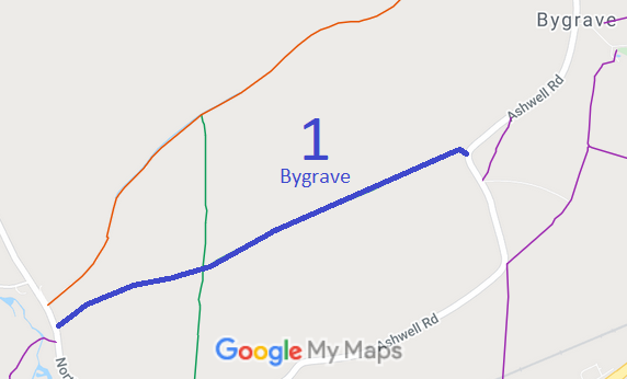
- Bygrave 1 BW
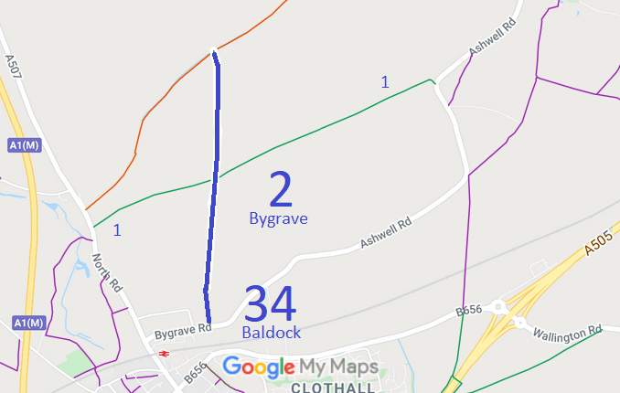
- Bygrave 2 and Baldock 34 BW
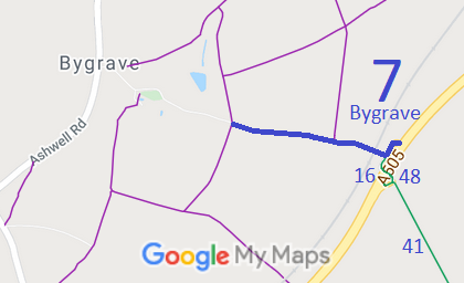
- Bygrave 7 BW, from road to A505 and underpass
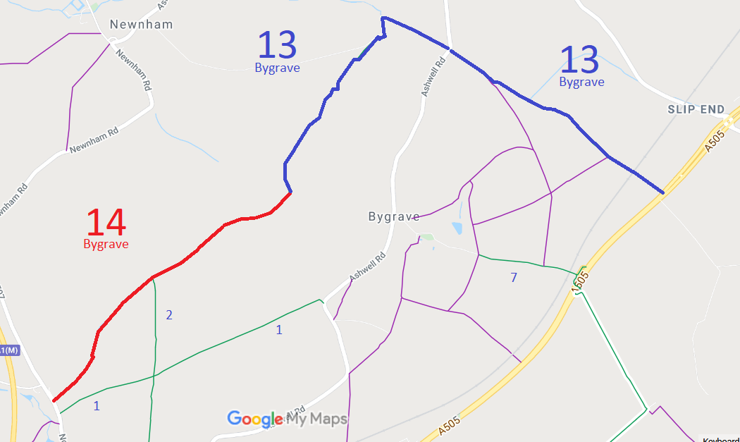
- Bygrave 13 BW, from Bygrave 14 to Ashwell Road to A505
- Bygrave 14 RB, from North Road, Baldock, to Bygrave 13 BW
- Bygrave 16 and Rushton and Wallington 48 BW, A505 underpass

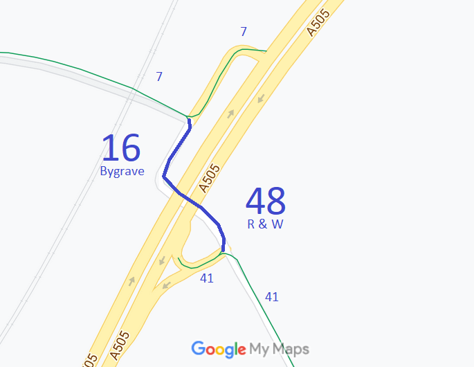
Annotated maps reproduced courtesy of Googlemaps.


 Local Government: Formerly within Hitchin Rural District. From 1974, part of North Hertfordshire District.
Tithe (1847) DSA4/28/2.
 There is an adopted Neighbourhood Development Plan (2021) for Baldock, Bygrave and Clothall, which counts as part of the Local Development Plan when planning applications are considered.