Patchetts Green Bridleways Trust
 PG: OBJECTS: PROMOTION: Colney Heath 27 Footpath and Permissive Bridleway
Map showing recorded Colney Heath paths
Annotated map reproduced courtesy of Googlemaps.
This route runs from Highfield Lane (public road), near to the permissive bridleway, generally northeastwards to Barley Mow Lane and Woodrake Lane (Colney Heath 60 byway).

We need a volunteer to photograph this route for this year's Access and Riding Rights of Way Survey. It's easy - just take photographs (safely) when you use the path. Find out more!
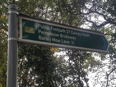
Photograph of Colney Heath 27
Sign at Eastern End
Photo: Phil Wadey, 16 Aug 2022
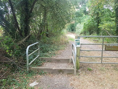
Photograph of Colney Heath 27
Start of Path, Highfield Lane
Photo: Phil Wadey, 16 Aug 2022
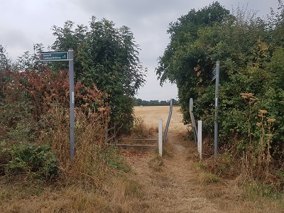
Photograph of Colney Heath 27
Path seen from Barley Mow Lane
Photo: Phil Wadey, 16 Aug 2022
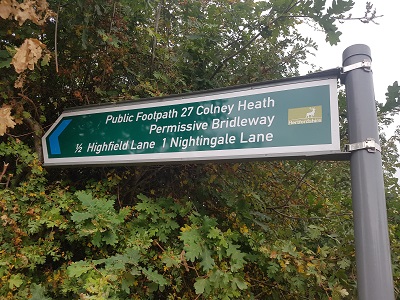
Photograph of Colney Heath 27
Sign at Eastern End
Photo: Phil Wadey, 16 Aug 2022
HCC BHS The British Horse Society is very grateful to the Hertfordshire County Council Rural Estates Department for this permissive bridleway.

Legal History
Definitive Statement (4 Dec 2015)
Path: [Colney Heath] 27.  Status: Footpath.  Definitive Map sheet: 68
Commences from county road opposite Highfield Hall thence NE past Knights Wood to county road at "Barley Mow" P.H.

Should record junction with Colney Heath 60 at eastern end.

© 2022 Patchetts Green Bridleways Trust.

Stats2