
- Enfield 2, Cheshunt 17 and 70, Burnt Farm Ride
- Enfield 4 from The Ridgeway to Strayfield Road (Enfield 125 BW)
- Enfield 7, Flash Lane, from Cuffley Hill and Enfield 125 BW to Whitewebbs Road
- Enfield 110 and Northaw 14, from Coopers Lane Road to The Ridgeway
- Enfield 125, Strayfield Road, from Enfield 4 BW to Enfield 7 BW
- Enfield 160 Byway, Cooks Hole Road
- Enfield 330, from Beggars Hollow to Whitewebbs Lane
- Enfield WN, northern side of Whitewebbs Park, from Enfield 7 to Enfield 330
- Enfield WS, southern side of Whitewebbs Park, from Enfield 330 to Enfield 7
- Enfield WSE, southeastern side of Whitewebbs Park, from Enfield 330 to Enfield WS

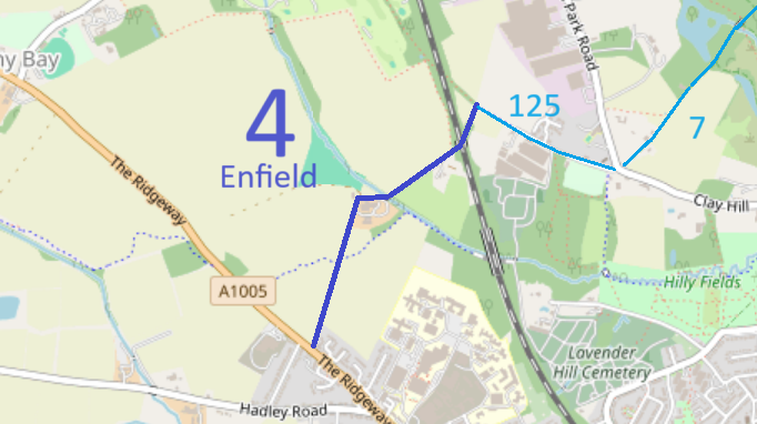
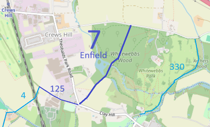

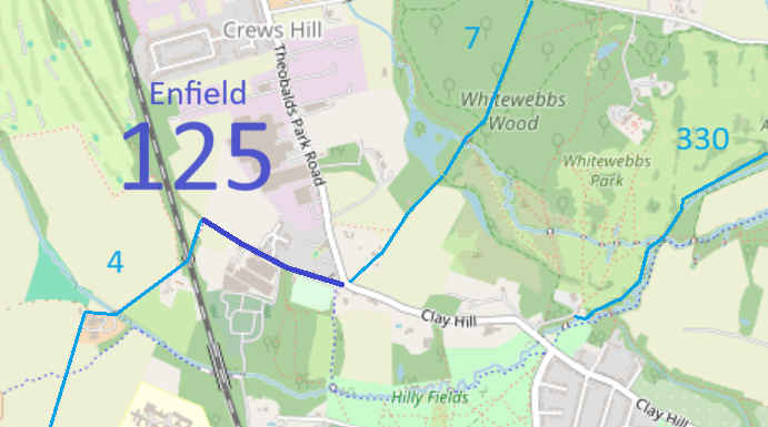
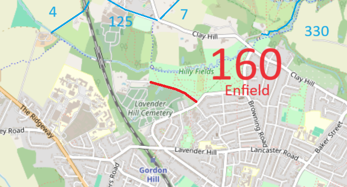
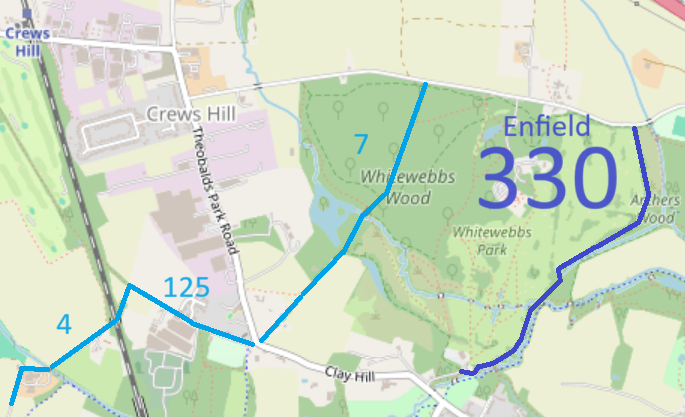
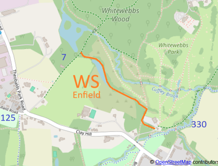
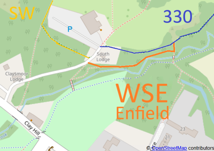
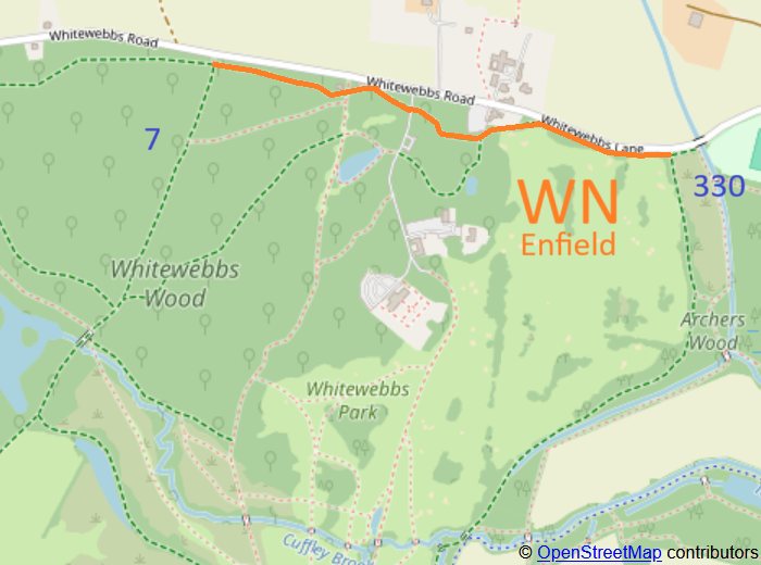
Annotated maps reproduced courtesy of Googlemaps. Map data from © OpenStreetMap and Enfield London Borough Council.

 Local Government: Formerly part of the County of Middlesex. From 1965, Enfield London Borough within Greater London.