
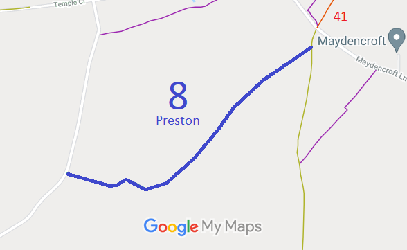
- Ippollitts 1 and Preston 8 BW
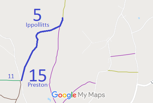
- Ippollitts 5 and Preston 15 BW
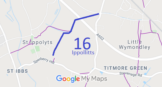
- Ippollitts 16 BW
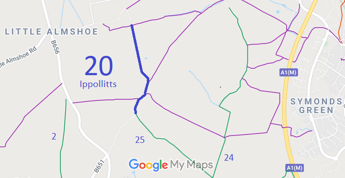
- Ippollitts 20 BW
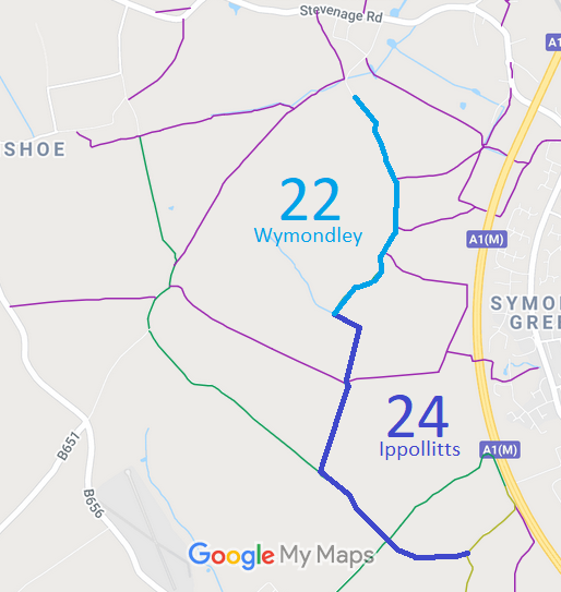
- Ippollitts 24 and Wymondley 22 BW, from Wymondley Road to Arch Road
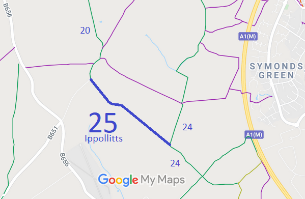
- Ippollitts 25 BW
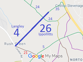
- Ippollitts 26 and Langley 4 BW
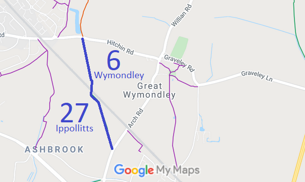
- Ippollitts 27 and Wymondley 6 BW

Annotated maps reproduced courtesy of Googlemaps.



 Local Government: Formerly within Hitchin Rural District. From 1974, part of North Hertfordshire District.
Inclosure (1816). Tithe (St Ippollitts (part)) (1847) DSA4/58/2.

