Paths Greenways Bridleways Tracks
 PG: OBJECTS: PROMOTION: Langley 4, Ippollitts 26 and Stevenage 35
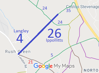
Map showing recorded Langley, Ippollitts and Stevenage paths
Annotated map reproduced courtesy of Googlemaps.
This route starts on London Road, Rush Green, and heads generally north eastwards to join Stevenage 35 bridleway which leads to Kitching Lane.

We need a volunteer to photograph the Langley and Ippollitts parts of the route for this year's Access and Riding Rights of Way Survey. It's easy - just take photographs (safely) when you use the path. Find out more!

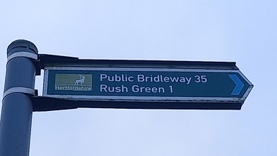
At the time of the 2023 Access Survey of Stevenage 35 bridleway (10 Dec 23), the route was unobstructed. It was signposted at the junction with the road.
Stevenage 35 bridleway
Photo of Stevenage 35 council bridleway sign
Sign at Kitching Lane
Photo: Phil Wadey, 10 Dec 2024
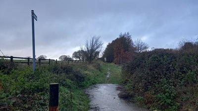
Photo of Stevenage 35 council bridleway sign
View from Kitching Lane
Photo: Phil Wadey, 10 Dec 2024
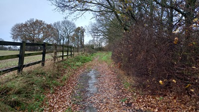
Photo of Stevenage 35 council bridleway sign
Parallel to Motorway
Photo: Phil Wadey, 10 Dec 2024
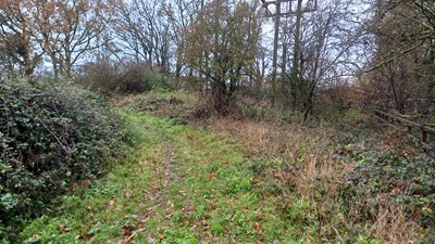
Photo of Stevenage 35 council bridleway sign
Turning away from Motorway
Photo: Phil Wadey, 10 Dec 2024
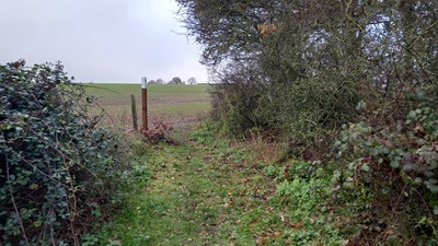
Photo of Stevenage 35 council bridleway sign
Looking Southwest from Motorway
Photo: Phil Wadey, 10 Dec 2024

Legal History
1938: Langley 4 would have been shown on the Hertfordshire County Council ROW survey. Map Hitchin West 13 (missing).
1938: Langley 4 is shown as a bridleway on the Hertfordshire County Council ROW survey. Map Hitchin West 15.
1 Nov 1953: Langley 4 was recorded as a bridleway on the original definitive map and statement. DM sheet DM3-33, DM4-40.
31 Dec 1977: Langley 4 was shown as a bridleway on the special review draft map and statement. DM sheet SR-29.
Definitive Statement (4 Dec 2015)
Path: [Langley] 4.  Status: Bridleway.  Definitive Map sheet: 29
Commences from B656 at Rush Green thence NE past Rush Green Farm buildings and along parish boundary to join BR26 (St Ippollitts) at small chalk pit.

Path: [Ippollitts] 26.  Status: Bridleway.  Definitive Map sheet: 29
Commences from parish boundary NE of Rush Green Farm thence NE across BR24 to join BR35 (Stevenage).

Path: [Stevenage] 35.  Status: Bridleway.  Definitive Map sheet: 29
Commences from junction of Shepherds Lane and Meadway west of A1(M) thence NW along same thence SW to parish boundary.

Maintainability
This route is maintainable at the public expense because it was a footpath or bridleway existing before 30 Apr 1959.

© 2024 Patchetts Green Bridleways Trust.

Stats2