Legal History
1938: The route is shown as a Lilley BW 11 (blue dots) from the road to BW7, as green lane (green dots) from BW 7 to the eastern edge of the Kingshill Plantation and Lilley BW 11 (blue dots) from there to BW9 on the Hertfordshire County Council ROW survey.
Maps Hitchin Rural West 6 (Herts 9 NW) and 7 (Herts 9 NE).
1 Nov 1953: The route was recorded as bridleway from the road to BW7, as CRB (Carriage Road used as a Bridleway) from BW 7 to the eastern edge of the Kingshill Plantation and footpath from there to BW 9 on the original definitive map and statement.
DM sheets DM4-27 (Herts 11 NW) and DM4-28 (Herts 11 NE).
31 Dec 1977: The route was shown as bridleway from the road to BW7 and as footpath east of BW7 on the special review draft map and statement.
DM sheet SR-19 (TL12NW).
28 Aug 2018: Application to upgrade to restricted byway. HCC reference NH/190.
|
| Application Process |
| Path |
Application |
Certificate |
Direction |
Inv Report |
Order |
Confirmed |
| EC552 |
28 Aug 2018 NH/190 |
18 Sep 2018 |
|
|
|
|
|
Definitive Statement (4 Dec 2015)
Path: [Lilley] 13. Recorded Status: Bridleway/Footpath.
Definitive Map sheet: 19
Commences from county road SE of Pond Farm thence NE across BR7 thence along Kingshill Lane
through Kingshill Plantation to East Edge of same thence SE to join BR9.
|
Maintainability
This route is maintainable at the public expense because it was a footpath or bridleway existing before 30 Apr 1959.
|
|
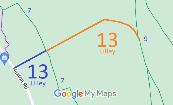
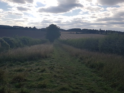
 As part of the British Horse Society's work to record paths before
Path Extinguishment Day,
it was spotted that this entire route should be shown as a restricted byway. The historical evidence showed a continuous route, so an application was made in 2018 to record this status in place of the blue bridleway and orange footpath sections.
