
- Lilley 2 RB, from West Street to Lilley 2 Footpath
- Lilley 7 BW, from Icknield Way (Lilley 24) to Lilley 10 BW.
- Lilley 8 RB, from Hexton Road to Lilley 24 RB
- Lilley 9 BW, from Lilley 27 RB to Icknield Way (Lilley 24 BOAT)
- Lilley 10 BW, from East Street to Lilley 9 BW
- Lilley 11 and Offley 35 BW, from Lilleyhoo Lane to Offley 34 BW
- Lilley 12 Unrecorded riding route from Lilley 9 BW to Lilley 10 BW
- Lilley 13 BW, from Hexton Road to Lilley 9 BW.
- Lilley 15 BW, from Lilley 11 BW to Lilley 9 BW.
- Lilley 16 BW, from Hexton 1 & 8 (Icknield Way) to Lilley 22 Wardswood Lane
- Lilley 18 and Offley 36 BW, from Lilley 9 BW to Offely 34 BW
- Lilley 19 and Offley 43 BW, from Lilley 9 BW to Offley 43 BW.
- Lilley 20 BW, from Lilley 19 BW to the Icknield Way
- Lilley 21 and Offley 38 BW, from Offley 41 BW to Lilley 15 BW
- Lilley 22 Byway, from West Street to Lilley 16, Streatley 29 & 33
- Lilley 23 and Hexton 8 Byway, from BW 18 (Beds) along Icknield Way to Hexton Road
- Lilley 24 and Hexton 10 Byway, from Hexton Road to Offley parish boundary
- Lilley 25 RB, from West Street to Lilley 1 Footpath
- Lilley 27 RB Lilleyhoo Lane
- Lilley 20x potential route, from Lilley 19 BW to Lilley 20 BW
- Lilley 17 potential route
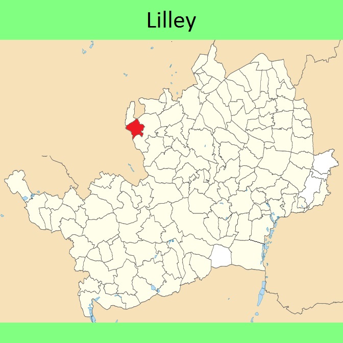




 Government: Formerly Hitchin Rural District. From 1974, part of North Hertfordshire District.
Inclosure (1769). Tithe (1848) DSA4/67/2.

