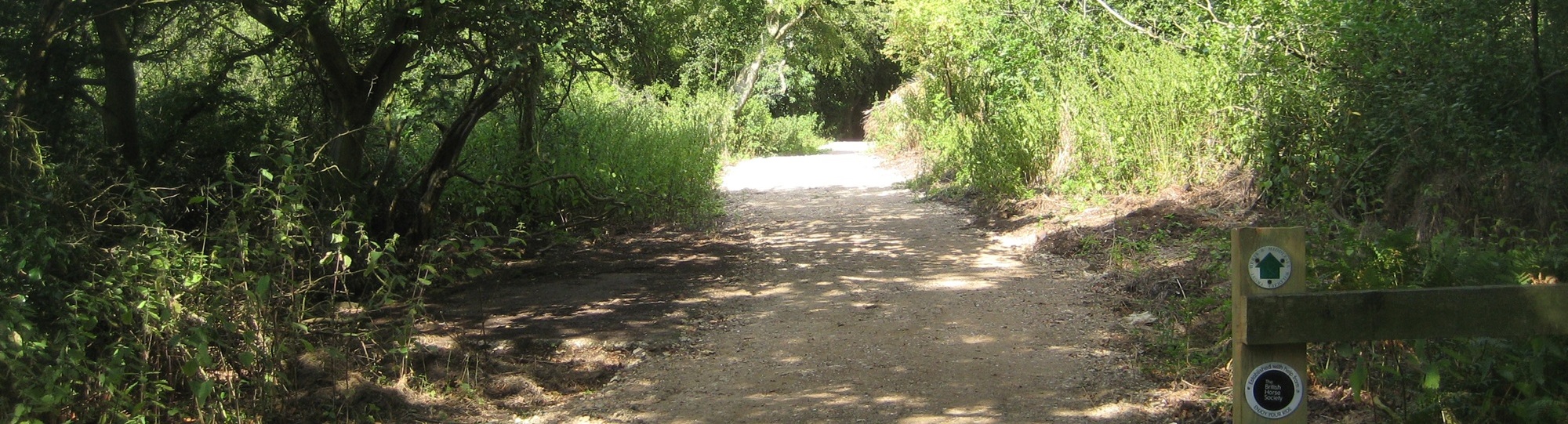
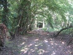
Image of Northaw 17 taken in 2015 showing track through woods
Northaw 17
Paths Greenways Bridleways Tracks


PG: OBJECTS: PROMOTION: Northaw 17 BW

Path Map and Description

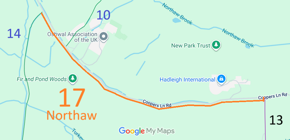
Map showing recorded Hertfordshire paths
Annotated map reproduced courtesy of Googlemaps.

This route starts from Northaw 14 bridleway and continues generally eastwards to allow access to cross the road to meet Northaw 10 bridleway (Hook Lane). It continues generally eastwards on the south side of Coopers Lane Road (public road) before emerging on to that road at the same point as Northaw 16 footpath.

Path Survey and Photographs

We need a volunteer to photograph this route for the Access and Riding Rights of Way Survey. It's easy - just take photographs (safely) when you use the path. Find out more!

Path Development Work

HCC BHS PGBT This path was created largely due to the lobbying and fundraising by the Patchetts Green Bridleways Trust and the British Horse Society. The land was generously provided by the Hertfordshire County Council Rural Estates Department, and the County Council's Rights of Way team made sure that the banks of the ditches were strengthened and the route was made safe to use. We were also grateful to the Herts and Middlesex Wildlife Trust for agreeing to remove the strip of land from their long lease of the adjacent site from the County Council. Equestrians, co-ordinated by the Patchetts Green Bridleways Trust, raised the £1,250 for the fencing needed. The County Council said in their receipt letter,
“Please pass my thanks onto everyone who contributed towards this fantastic amount. This money and the fencing it paid for, has been vital towards creating the new bridleway. Helping create this route now means that riders can avoid roughly 1 1/4 miles of busy Coopers Lane Road and link between bridleways 10 and 14 without having to use the road at all.”
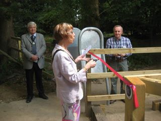
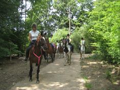
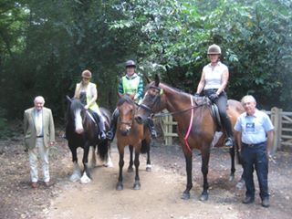
Photographs of the Official Opening, 8 Aug 2015

Photographs from the Official Opening, by the Deputy Mayor of Welwyn Hatfield Borough Council, Cllr Pat Mabbott, on 8 Aug 2015.

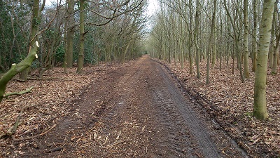
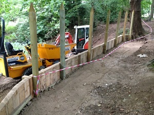
Photographs of the Construction Phase, 2015

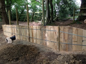
Left (4 Feb 2015): Clearance work completes; Middle and Right (30 Jun 2015): Revetment work to maintain path near the pond. All three photographs courtesy of Hertfordshire County Council.

Legal History
8 Aug 2015: Official opening by the Deputy Mayor of Welwyn Hatfield. The legal paperwork to record the new bridleway is awaited.
2 Jan 2018: As legal work not completed, application made to record the bridleway by modification order. HCC reference W+H/115.
20 Sep 2021: The Hertfordshire (Temporary Closing of Bridleway Northaw and Cuffley 17) Order 2021 enabled the route to be closed for up to 4 weeks for surfacing works.
19 Aug 2022: Shortlisted for next set of BHS direction applications.
Application Process
Path Application Certificate Direction Inv Report Order Confirmed
EC545 2 Jan 2018 W+H/115 11 Jun 2018        
Definitive Statement (Awaited)
Path: [Northaw and Cuffley] 17.  Status: Bridleway.  Definitive Map sheet: 79
[Awaited]
Maintainability
This route is maintainable at the public expense by virtue of s.36(2)(a) Highways Act 1980. [Constructed by Highway Authority]

© 2025 Patchetts Green Bridleways Trust. File reference: EC545. HCC reference: W+H.

Stats2