Legal History
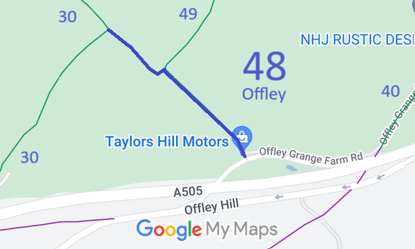
24 Aug 1995: The Hertfordshire County Council (Offley 48 & 49) Modification Order 1995, confirmed 4 Mar 1997, added this route to the definitive map and statement.
9 Nov 2017: Landowner Deposit under s.31(6) Highways Act 1980 admited the part of Offley 48 falling within the relevant land ownership as bridleway.
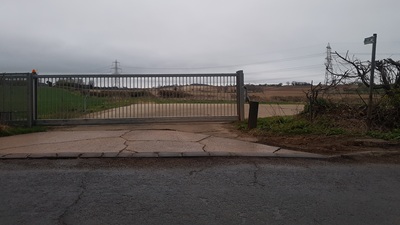
9 Mar 2025: Bridleway sign at slip road junction is knocked over. Reported to HCC, reference 401004574029.
|
|
Definitive Statement (4 Dec 2015)
Path: [Offley] 48. Status: Bridleway.
Definitive Map sheet: 19
Commences from the slip road (County Road) for A505 eastbound traffic at TL 1489 2764 then generally north westwards for approx 370m to the junction with BR49 at TL 1465 2789 thence south westwards for approx 30m to TL 1463 2787 and thence north westwards for approx 190m to the junction with BR30 at TL 1449 2800.
Width: Varies between 6 and 9.5m as shown by cross-hatching on the map annexed to the Hertfordshire County Council (Offley 48 & 49) Modification Order 1995
Limitations: None
|
Maintainability
This route is maintainable at the public expense because it was a highway before 1835.
This route is maintainable at the public expense because it was a footpath or bridleway existing before 30 Apr 1959.
|
|