Paths Greenways Bridleways Tracks
 PG: OBJECTS: PROMOTION: Rickmansworth 61 BW
London Orbital Bridleroute  H25 
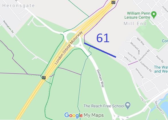
Map showing recorded Rickmansworth paths
Annotated map reproduced courtesy of Googlemaps.
This route runs from the southern section of Long Lane (public road) to a junction with Rickmansworth 10 BW (and H25 route), then a short distance to Rickmansworth 21 ridden route.

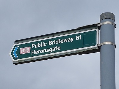
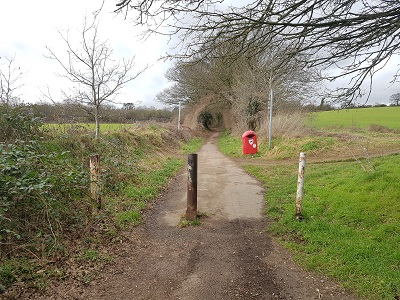
At the time of the 2023 Access Survey (18 Feb 23), there were bollards at the junction with Long Lane with sufficient space between them for passage, and no other obstructions. It was signposted near the Long Lane junction as pictured and there was a small 'Public Bridleway' sign pointing NW at the junction with Rickmansworth 10. At the junction with Rickmansworth 21 there was a waymark post with discs, but this was very overgrown. In all a pleasant route to walk, ride or cycle.
Photograph of Rickmansworth 61 bridleway
Sign at SE End
Photo: Phil Wadey, 18 Jan 2023
Photograph of Rickmansworth 61 bridleway
Junction with Long Lane
Photo: Phil Wadey, 18 Jan 2023
Photograph of Rickmansworth 61 bridleway
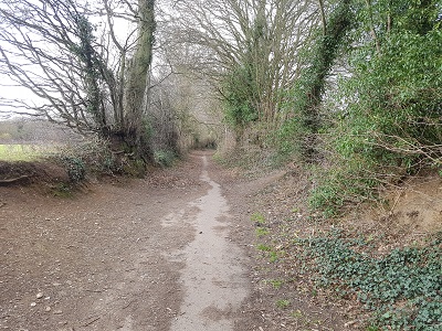
Continuing NW
Photo: Phil Wadey, 18 Jan 2023
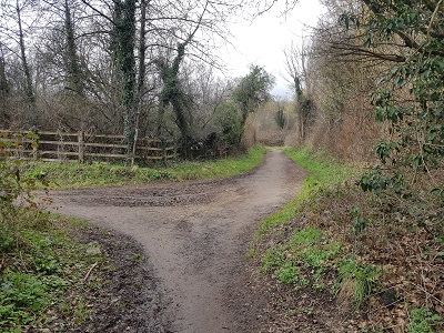
Photograph of Rickmansworth 61 bridleway
Junction with Rickmansworth 10 BW
Photo: Phil Wadey, 18 Jan 2023
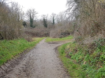
Photograph of Rickmansworth 61 bridleway
Continuing NW
Photo: Phil Wadey, 18 Jan 2023
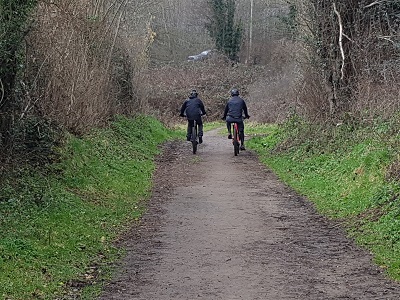
Photograph of Rickmansworth 61 bridleway
Continuing NW
Photo: Phil Wadey, 18 Jan 2023

Legal History
20 Jun 1953: Rickmansworth 61 was not recorded on the original definitive map. DM sheet DM3-41 (TQ09SW).
31 Dec 1977: Rickmansworth 61 was shown as a bridleway on the special review draft map and statement. DM sheet SR-88 (TQ09SW).
Definitive Statement (4 Dec 2015)
Path: [Rickmansworth] 61.  Status: BR.  Definitive Map sheet: 88
From FP12 to county road - long lane.

© 2023 Patchetts Green Bridleways Trust.

Stats2