
| PG: OBJECTS: PROMOTION: Ridge 36 RB Arkley Lane |
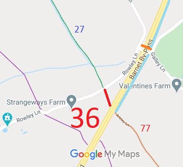 Annotated map reproduced courtesy of Googlemaps. |
This route runs from Rowley Lane, opposite Packhorse Lane (Ridge 27 BW), to the A1 Barnet By-Pass road opposite South Mimms 77 restricted byway. It is not possible to cross the A1 here.
At the time of the BHS 2022 Access Survey (3 Jul 22), there were no gates were across the path, but there were bollards that would prevent many horse drawn vehicles at the northern end. The path was signposted at the southern end only. The county council's recent surfacing work at the northern end has replaced a quagmire with a useful surface for all. The photographs were taken starting at the southern end and heading generally northwards. |
|||
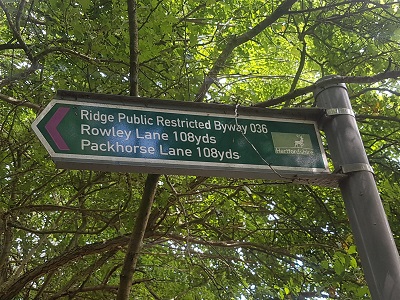 Sign at southern end, junction with A1 Photo: Phil Wadey, 3 Jul 2022 |
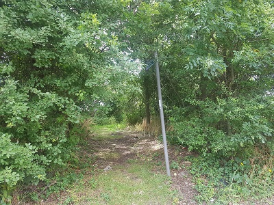 View north from A1 Photo: Phil Wadey, 3 Jul 2022 |
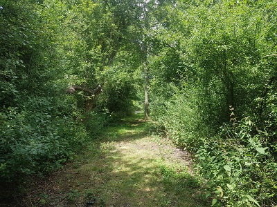 Half way along, looking north Photo: Phil Wadey, 3 Jul 2022 |
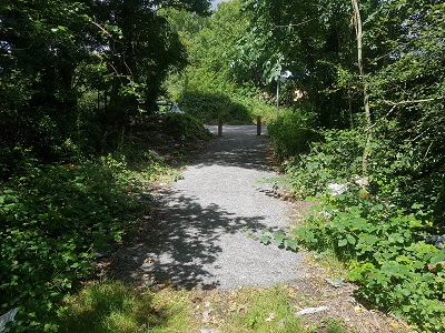 Approaching northern end, Rowley Lane Photo: Phil Wadey, 3 Jul 2022 |
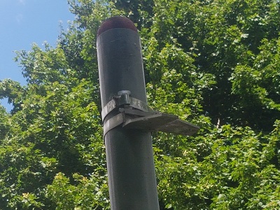 Remnants of sign at northern end Photo: Phil Wadey, 3 Jul 2022 |
| Legal History This route was recorded as CRF (Carriage Road used as a Footpath) 10 Barnet on the original (1953) definitive map. 2 May 2006: Restricted Byway rights were confirmed or created on this path by virtue of ss 47 and 48 Countryside and Rights of Way Act 2000. 3 Jul 2022: Missing fingerpost at junction with Rowley Lane reported to HCC, reference 401002794217. |
Definitive Statement (4 Dec 2015)
Path: [Ridge] 36. Status: RB. Definitive Map sheet: 86 Starts at the NW side of the A1 opposite South Mimms (formerly Potters Bar) 77. Continues NW to Rowley Lane. |
© 2022 Patchetts Green Bridleways Trust.
