Patchetts Green Bridleways Trust
 PG: OBJECTS: PROMOTION: St Stephen 85 BW  CMP6 
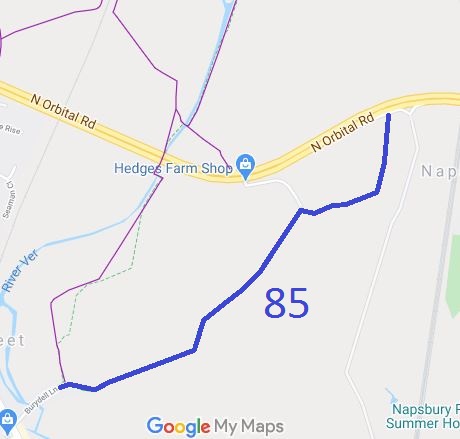
Map showing St Stephen 85 bridleway
Annotated map reproduced courtesy of Googlemaps.
St Stephen 85 bridleway runs from Bury Dell Lane (public road), off Watling Street and heads generally north eastwards to the A414 North Orbital Road (public road). There is a verge here, and riders heading eastwards will reach St Albans 104, a byway that leads to Shenley Lane and London Colney.

At the time of the 2023 Access Survey (27 Aug 23) there was a gate at the A414 junction, a chicane near Bury Dell Lane and a bollard. The path was signposted at each end, but at the Bury Dell Lane end there was also a no cycling sign, which is unexpected.
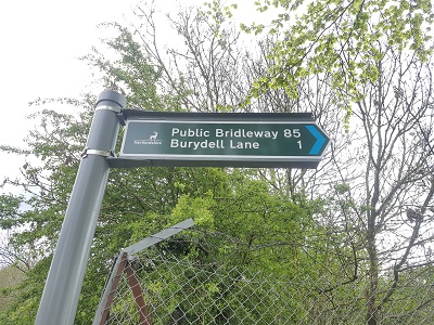
Photograph of St Stephen 85 Sign at junction with North Orbital Road
Photo: Phil Wadey, 1 May 2023
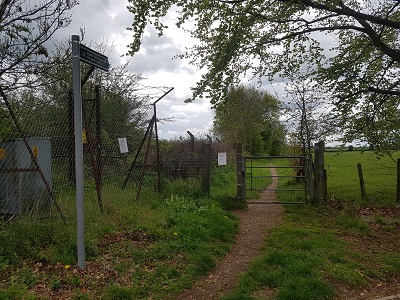
Photograph of St Stephen 85 View south from North Orbital Road
Photo: Phil Wadey, 1 May 2023
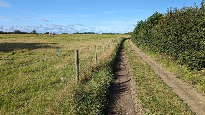
Photograph of St Stephen 85 Continuing generally southwest
Photo: Michael Rackham, 27 Aug 2023
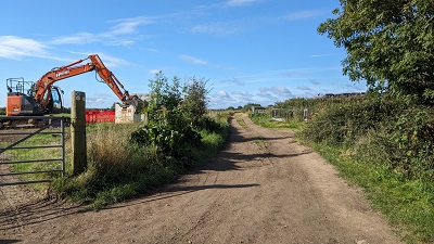
Photograph of St Stephen 85 Continuing generally southwest
Photo: Michael Rackham, 27 Aug 2023
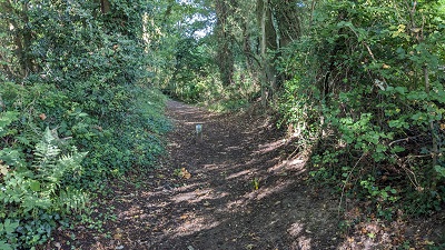
Photograph of St Stephen 85 Continuing generally SW (small bollard)
Photo: Michael Rackham, 27 Aug 2023
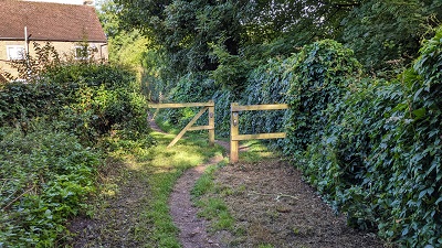
Photograph of St Stephen 85 Continuing generally SW (chicane)
Photo: Michael Rackham, 27 Aug 2023
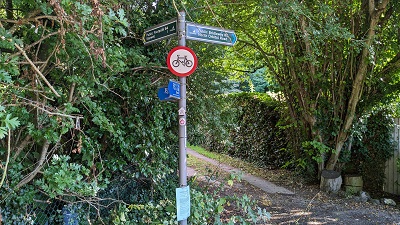
Photograph of St Stephen 85 Sign at SW end
Photo: Michael Rackham, 27 Aug 2023
HCC BHS PGBT Open Spaces Society logo This path falls within the area designated for the Strategic Rail-Freight Interchange project. As such this path is planned to be diverted slightly, however this will be part of a wider scheme creating other bridleways too, so we look forward to the publication of the orders.

Legal History
Before the parish boundary was moved, this path was shown on the definitive map as bridleway St Albans City 51.
2 Oct 2024: The St Albans City and District Council Council (St Stephen 85) Diversion Order 2024 will, if confirmed, divert the route slightly to the north over a bridge that will carry the route over the access road to the Strategic Rail Freight Interchange. HCC reference STA/191.
7 Nov 2024: The close of the objection period for the diversion order.
20 Nov 2024: Order is now going to SADC committee with recommendation to confirm.
Definitive Statement (4 Dec 2015)
Path: [St Stephen] 85.  Status: Bridleway.  Definitive Map sheet: 77
Commences from North Orbital Road. Runs S thence SW passes S of Gedges Farm and continued to NE end of Burydell Lane.

The definitive map route and the ridden and fenced-in route on the ground differ at the northern end.

Maintainability
This route is maintainable at the public expense because it was a footpath or bridleway existing before 30 Apr 1959.

© 2024 Patchetts Green Bridleways Trust. File reference: ED124. HCC reference: STA/171/DIV

Stats2