Patchetts Green Bridleways Trust
 PG: OBJECTS: PROMOTION: St Stephen Riverside Way
London Orbital Bridleroute: Anti-clockwise: Drop Lane then St Stephen 10. Clockwise: St Stephen 74.  H25 
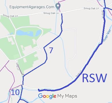
Map showing Riverside Way
Annotated map reproduced courtesy of Googlemaps.
This paths runs from Drop Lane (not far from bridleways St Stephen 7 bridleway and St Stephen 10 bridleway) to St Stephen 74 bridleway which leads to Smug Oak Lane.

It is on land owned by Hertfordshire County Council.

At the time of the 2023 Access Survey (8 Sep 23), there were no gates across the path. The route crossed two bridges. It was signposted from the junction with St Stephen 74 bridleway.
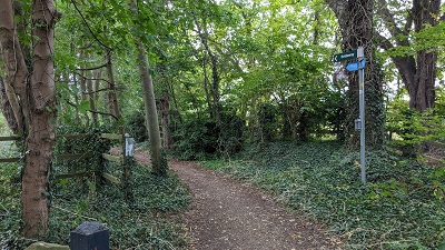
Photograph of Riverside Way riding route
View from St Stephen 74 BW
Photo: Michael Rackham, 8 Sep 2023
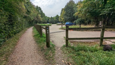
Photograph of Riverside Way riding route
Continuing West (keep left)
Photo: Michael Rackham, 8 Sep 2023
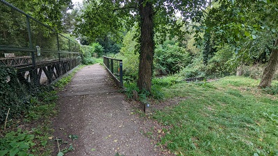
Photograph of Riverside Way riding route
Continuing West (bridge)
Photo: Michael Rackham, 8 Sep 2023
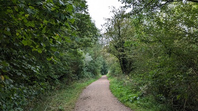
Photograph of Riverside Way riding route
Continuing West
Photo: Michael Rackham, 8 Sep 2023
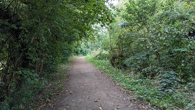
Photograph of Riverside Way riding route
Continuing West
Photo: Michael Rackham, 8 Sep 2023
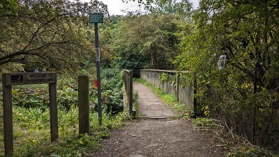
Photograph of Riverside Way riding route
View from Drop Lane (bridge)
Photo: Michael Rackham, 8 Sep 2023

Legal History
-

© 2023 Patchetts Green Bridleways Trust.