| Paths Greenways Bridleways Tracks | ||
| PG: OBJECTS: PROMOTION: Tewin 6 and Welwyn 36 | ||
![]() Annotated map reproduced courtesy of Googlemaps. |
This bridleway runs from Pennyfather Lane (public road) and Welwyn 50 bridleway generally southeastwards to a junction with Tewin 1 byway.
At the time of the 2024 Access Survey (23 Mar 24), no gates were across the path and it was signposted at each end. |
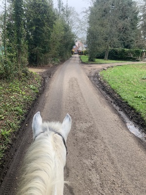
|||
View from Pennyfather LanePhoto credit: Nicola Swain, 23 Mar 2024 |
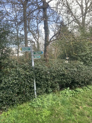
Sign at junction with Welwyn 50 BWPhoto credit: Nicola Swain, 23 Mar 2024 |
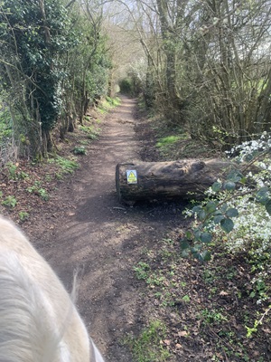
Continuing SoutheastwardsPhoto credit: Nicola Swain, 23 Mar 2024 |
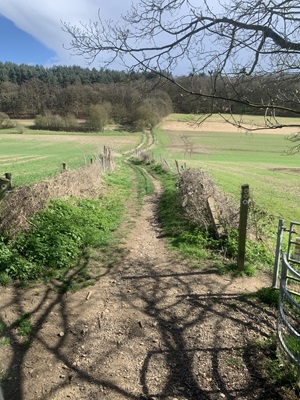
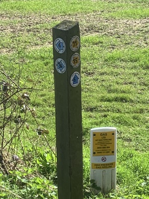
Waymark at Parish BoundaryPhoto credit: Nicola Swain, 23 Mar 2024 |
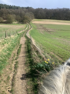
Continuing SoutheastwardsPhoto credit: Nicola Swain, 23 Mar 2024 |
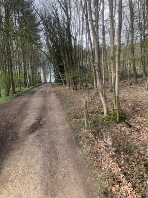
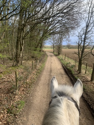
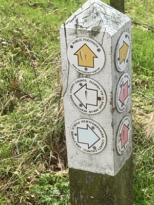
Waymark at Tewin 1 junctionPhoto credit: Nicola Swain, 23 Mar 2024 |
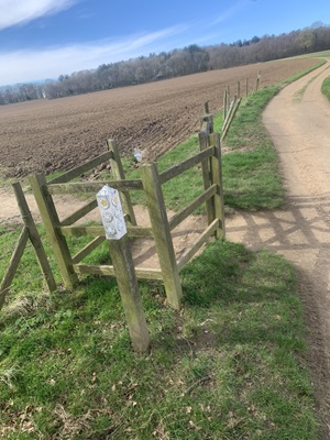
View NW from Tewin 1 BywayPhoto credit: Nicola Swain, 23 Mar 2024 |
| Legal History 2 Feb 1953: Tewin 6 and Welwyn 36 were recorded as a bridleway on the original definitive map and statement. DM sheet DM2-17 (Herts 28 NE). 31 Dec 1977: Tewin 6 and Welwyn 36 were shown as a bridleway on the special review draft map and statement. DM sheets SR-44 (TL21NE). 10 Feb 2026: Hertfordshire County Council Investigation report issued. Decision awaited. |
Definitive Statement (4 Dec 2015)
Path: [Tewin] 6. Status: Bridleway. Definitive Map sheet: 44 Commences at junction with BOAT 1 N of Margery Wood thence NW through Dawley Wood and over Rifle Range to parish boundary. Statement could usefully mention junction with Welwyn 36. Path: [Welwyn] 36. Status: Bridleway.
Definitive Map sheet: 44 Statement could usefully mention junction with Tewin 6 and 'Pennyfather Lane'. |
© 2024-2026 Patchetts Green Bridleways Trust.