| Paths Greenways Bridleways Tracks | ||
| PG: OBJECTS: PROMOTION: Welwyn 28 BOAT - Turpin's Ride | ||
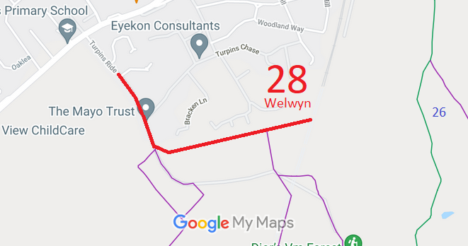
![]() Annotated map reproduced courtesy of Googlemaps. |
This route runs from Turpin's Ride (public road) to the southern end of the railway tunnel.
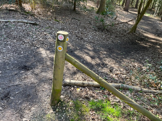
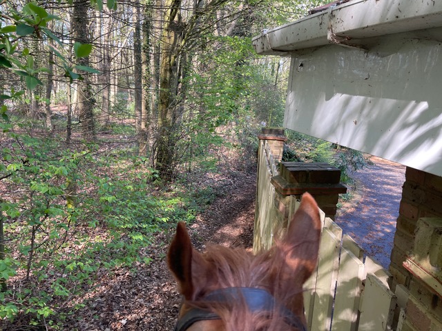
At the time of the BHS 2023 Access Survey (22 Apr 23), there were no gates were across the path and it was waymarked at the eastern end. The photographs start at the eastern end and head westwards. |
|||
![]() Byway Waymark Arrow Photo: Ros Naylor, 22 Apr 2023 |
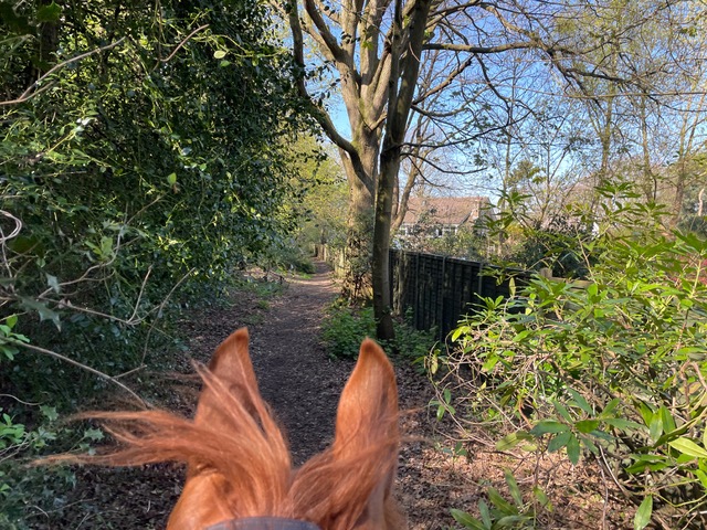
![]() Continuing Westwards Photo: Ros Naylor, 22 Apr 2023 |
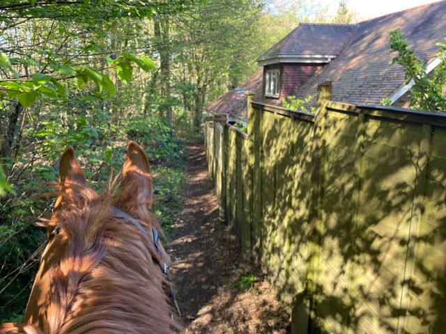
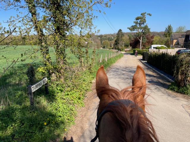
![]() Turpins Lane junction Photo: Ros Naylor, 22 Apr 2023 |
| Legal History 2 Feb 1953: Welwyn 28 was recorded as CRF (Carriage Road used as a Footpath) on the original definitive statement. DM sheet DM2-17 (Herts 28 NE). 31 Dec 1977: Welwyn 28 was shown as a byway on the special review draft map and statement. DM sheets SR-43 (TL21NW) and SR-44 (TL21NE). |
Definitive Statement (4 Dec 2015)
Path: [Welwyn] 28. Status: Byway Open to All Traffic. Definitive Map sheets: 43 and 44 Commences at S end of Turpin's Ride thence S & E to its end S of railway tunnel. |
© 2023 Patchetts Green Bridleways Trust.