
- Bramfield 1 BW, from Winding Shott to Winding Shott
- Bramfield 2 BW, from Gobions Lane to Bramfield 1 BW
- Bramfield 3 BW, from Holly Grove Road to Tewin Hill
- Bramfield 4 and Tewin 4 BW, from Hertford Road to Bramfield 3 BW
- Bramfield 6a, Bramfield 13 (part) and Tewin 25 BW, from Hertford Road to Holly Grove Road
- Bramfield 9 BW, from Holly Grove Road to Tattle Hill
- Bramfield 12 BW, from Main Road to Gobions Lane
- Bramfield 13 (part) and Hertingfordbury 11 BW, from Holly Grove Road to B1000 Welwyn Road

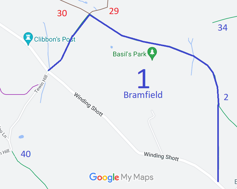

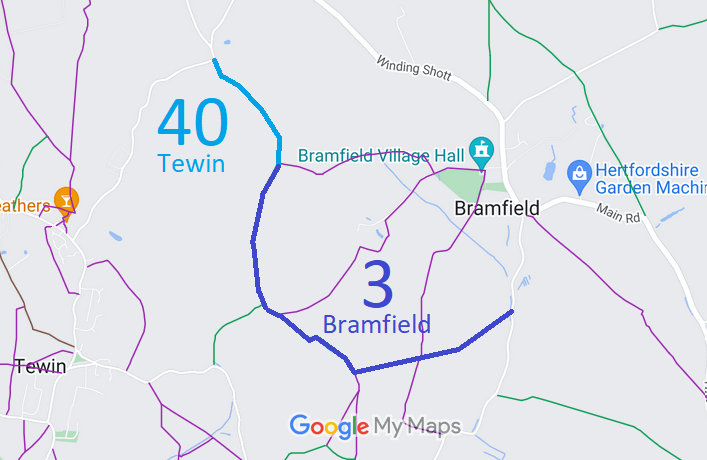
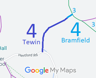
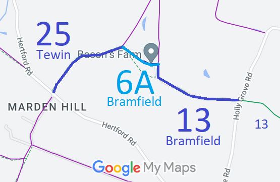
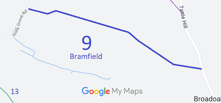

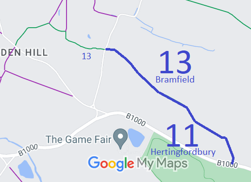
Annotated maps reproduced courtesy of Googlemaps.


 Local Government: Formerly within Hertford Rural District. From 1974, part of East Hertfordshire District.
Tithe (1838) DSA4/23/2.

