Paths Greenways Bridleways Tracks
 PG: OBJECTS: PROMOTION: Hemel Hempstead 90 FP
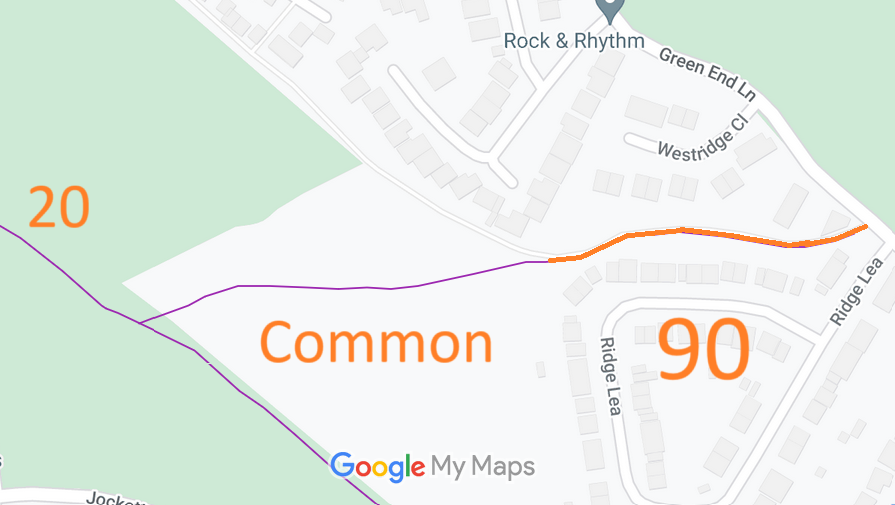
Map showing recorded Hemel Hempstead paths
Annotated map reproduced courtesy of Googlemaps.
This section of Hemel Hempstead 90 runs from Green End Lane (public road) to Shrubhill Common (common with equestrian rights), and then to Hemel Hempstead 20 restricted byway.

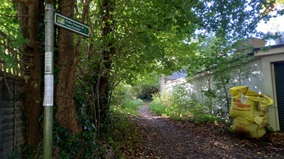
At the time of the 2024 Access Survey (18 Oct 24), no gates were across the path and it was signposted (footpath) at each end.
Photograph of Hemel Hempstead 90
View from Green End Lane
Photo: Phil Wadey, 18 Oct 2024
Photograph of Hemel Hempstead 90
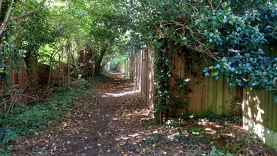
Continuing Westwards
Photo: Phil Wadey, 18 Oct 2024
Photograph of Hemel Hempstead 90
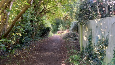
Continuing Westwards
Photo: Phil Wadey, 18 Oct 2024
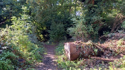
Photograph of Hemel Hempstead 90
Continuing Westwards
Photo: Phil Wadey, 18 Oct 2024
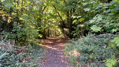
Photograph of Hemel Hempstead 90
Continuing West onto the Common
Photo: Phil Wadey, 18 Oct 2024

Legal History
2 Feb 1843: This part of Hemel Hempstead 90 was shown on the Hemel Hempstead tithe map as part land parcel 295 which was listed under 'Roads, Commons and Wastes' and was not subject to an apportionment.
1878: The OS 1st edition 25in map of relevance is Hertfordshire 33-11.
1910: This part of Hemel Hempstead 90 was shown on the Inland Revenue Valuation map as a white road.
8 Oct 2024: Application for restricted byway, for the section from the edge of the common to Green End Lane. HCC reference DAC/180.
19 Oct 2024: Reported fallen tree across route on the common. Hertfordshire County Council reference 401004395846.
12 May 2025: Hertfordshire CC decide to make an order for restricted byway.
19 Jun 2025: The Hertfordshire County Council (Hemel Hempstead 20 and 90) Modification Order 2025 (confirmed 4 Sep 2025) recorded this route in the definitive map and statement as a restricted byway.
Application Process
Path Application Certificate Direction Inv Report Order Confirmed
EC1064 8 Oct 2024 DAC/180 19 Oct 2024 Not needed 2 Dec 2024 19 Jun 2025 4 Sep 2025
Definitive Statement (28 May 2025)
Path: [Hemel Hempstead] 90.  Status: Restricted Byway.  Definitive Map sheet: 65
Commences from Green End Lane (public highway) at TL 0399 0712 then generally W along the lane for approx 170m to Shrub Hill Common at TL 0382 0710 then continuing generally W across the common for approx 200m to junction with Hemel Hempstead RB 20 at TL 0363 0706.
Width: Varies between 4m and 8m between TL 0399 0712 and TL 0382 0710 as shown in the Hertfordshire County Council (Hemel Hempstead 20 and 90) Modification Order 2025.
4m between TL 0382 0710 and TL 0363 0706
Limitations: None

Former Definitive Statement (4 Dec 2015)
Path: [Hemel Hempstead] 90.  Recorded Status: Footpath.  Definitive Map sheet: 65
Starts in Green End Lane for 200 yards, path then crosses Shrubhill Common to junction with FP20.

Maintainability
This route is maintainable at the public expense because it was a highway before 1835.

© 2025 Patchetts Green Bridleways Trust. File reference: EC1064. DOBBIN reference: HER-0165 HCC reference: DAC/180

Stats2