Paths Greenways Bridleways Tracks
 PG: OBJECTS: PROMOTION: Hertford 13 RB
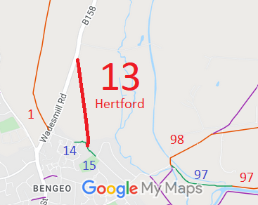
Map showing recorded Hertford paths
Annotated map reproduced courtesy of Googlemaps.
This route starts on the B158 Wadesmill Road and heads generally southwards to end at a junction with Hertford 14 bridleway.

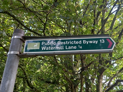
At the time of the 2023 Access Survey (23 Jul 23), the path was unobstructed, but the southern end was to the west of the line on the HCC online path map. It was signposted correctly at the northern end (Wadesmill Road) but there were no waymark arrows at the junction with Hertford 14 bridleway.
Photograph of Hertford 13
Sign at Wadesmill Lane
Photo: Phil Wadey, 23 Jul 23
Photograph of Hertford 13
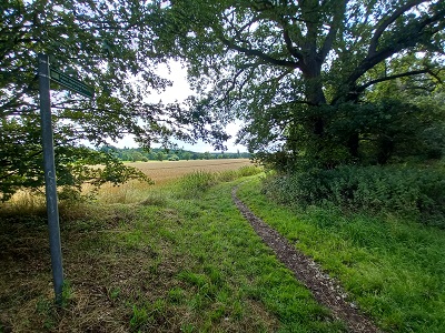
Caption AHeading South from Wadesmill Lane
Photo: Phil Wadey, 23 Jul 23
Photograph of Hertford 13
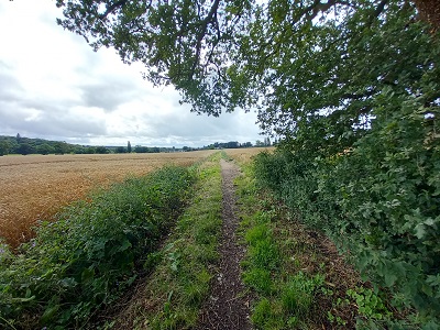
Continuing Southwards
Photo: Phil Wadey, 23 Jul 23
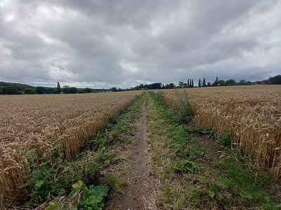
Photograph of Hertford 13
Continuing Southwards
Photo: Phil Wadey, 23 Jul 23
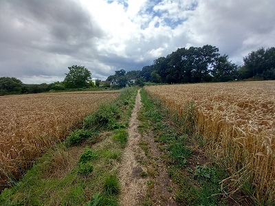
Photograph of Hertford 13
Continuing Southwards
Photo: Phil Wadey, 23 Jul 23
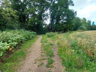
Photograph of Hertford 13
Approaching Hertford 14 BW
Photo: Phil Wadey, 23 Jul 23

Legal History
2 Feb 1953: Hertford 13 was recorded as a CRF (Carriage Road used as a Footpath) on the original definitive statement. DM sheet DM2-21 (Herts 29 NE) and DM2-23 (Herts 29 SW).
31 Dec 1977: Hertford 13 was shown as a bridleway on the special review draft map and statement, but objections were received and it remained a Road Used as a Public Path (RUPP). DM sheet SR-59 (TL31SW).
2 May 2006: Restricted Byway rights were confirmed or created on this path by virtue of ss 47 and 48 Countryside and Rights of Way Act 2000.
Definitive Statement (4 Dec 2015)
Path: [Hertford] 13.  Status: Restricted Byway.  Definitive Map sheet: 59
To Watermill Lane. Starts from Wadesmill Road by triangular shaped copse and follows track across field where it meets BR14.
  Location Information
Postcode for SATNAV for anyone inspecting path: SG14 3HU.

© 2024 Patchetts Green Bridleways Trust.

Stats2