Paths Greenways Bridleways Tracks
 PG: OBJECTS: PROMOTION: Hertford 14 and 15 BW - Watermill Lane
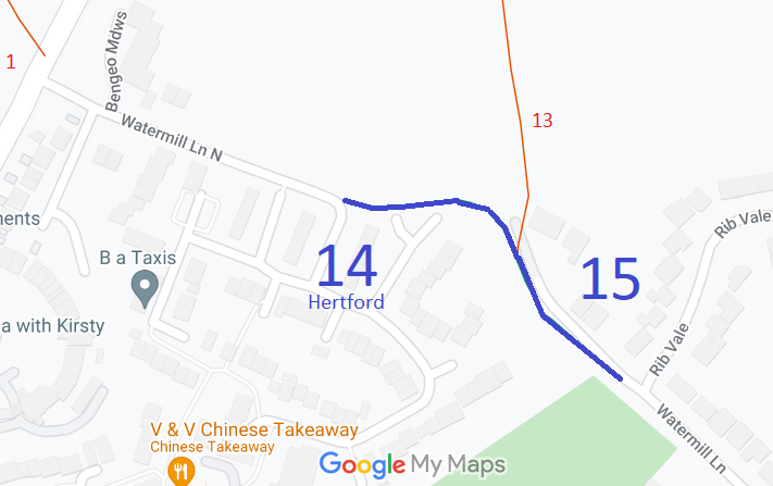
Map showing recorded Hertford paths
Annotated map reproduced courtesy of Googlemaps.
This route starts on Watermill Lane North (public road) and continues east then southeastwards to a junction with Hertford 13 restricted byway then continues southeastwards to end at a junction with Watermill Lane (public road).

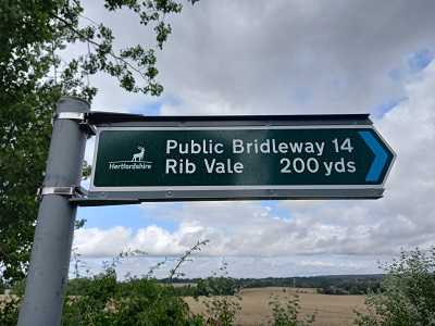
At the time of the 2023 Access Survey (23 Jul 23), the path was unobstructed at was correctly signposted at each end. However, at the western end the path as partially obstructed by fencing from the water company, who were undertaking works in Watermill Lane North. Workmen advised that the works could continue for another 5 to 10 weeks.
Photograph of Hertford 14
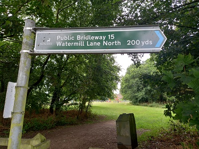
Sign at Watermill Lane North
Photo: Phil Wadey, 23 Jul 23
Photograph of Hertford 14
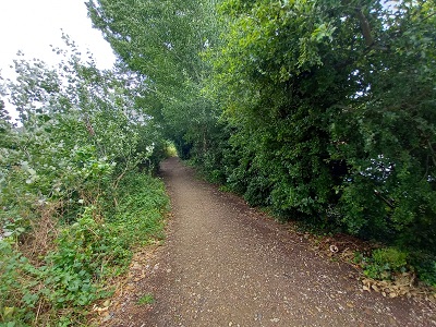
View from Watermill Lane North
Photo: Phil Wadey, 23 Jul 23
Photograph of Hertford 14
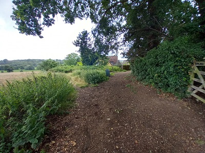
Continuing Eastwards
Photo: Phil Wadey, 23 Jul 23
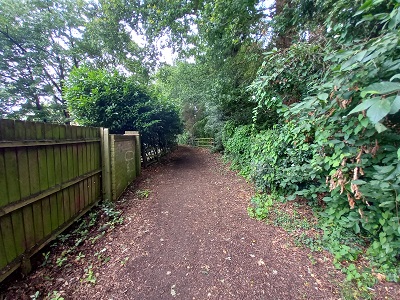
Photograph of Hertford 14
Hertford 15: Continuing SE
Photo: Phil Wadey, 23 Jul 23
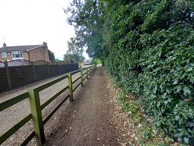
Photograph of Hertford 14
Continuing SE (Narrower)
Photo: Phil Wadey, 23 Jul 23
Photograph of Hertford 14
Sign at Watermill Lane
Photo: Phil Wadey, 23 Jul 23
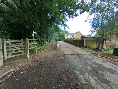
Photograph of Hertford 14
View from Watermill Lane/Rib Vale
Photo: Phil Wadey, 23 Jul 23
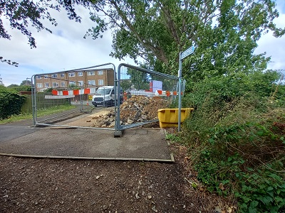
The next two photographs (right) show the obstruction on Watermill Lane North, west of Hertford 14 bridleway. Photograph of Hertford 14
View Westwards from Hertford 14
Photo: Phil Wadey, 23 Jul 23
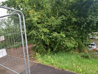
Photograph of Hertford 14
Route left by contractors
Photo: Phil Wadey, 23 Jul 23

Legal History
2 Feb 1953: Hertford 14 and Hertford 15 were recorded as CRF (Carriage Road used as a Footpath) on the original definitive statement. DM sheet DM2-23 (Herts 29 SW).
31 Dec 1977: Hertford 14 and Hertford 15 were shown as bridleways on the special review draft map and statement. DM sheet SR-59 (TL31SW).
1 Dec 2001: HCC discovered evidence file EH/234 relates to the width of this path (particularly Hertford 15).
Definitive Statement (4 Dec 2015)
Path: [Hertford] 14.  Status: Bridleway.  Definitive Map sheet: 59
To Wadesmill Road. Starts from junction Restricted Byway 13 and via Watermill Lane to junction with county road (Watermill Lane).

Path: [Hertford] 15.  Status: Bridleway.  Definitive Map sheet: 59
Starts from junction Restricted Byway 13 and BR14 southeast for short distance to join county road Watermill Lane at junction with Rib Vale.

  Location Information
Postcode for SATNAV for anyone inspecting path: SG14 3HU.

© 2023 Patchetts Green Bridleways Trust. File reference: EC597. HCC reference EH/234.

Stats2