
- Hoddesdon 6 RB, from Hertford Road to Hoddesdon 7 RB
- Hoddesdon 7 and 7A RB, from Hoddesdon 6 to Lord Street
- Hoddesdon 21 and 23 RB, from Lord Street
- Hoddesdon 25 BW, Cock Lane to Hoddesdon 73 BW
- Hoddesdon 26 BW, cul-de-sac off Hoddesdon 25 RB
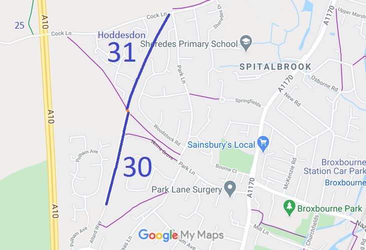
- Hoddesdon 30 and 31 BW, from Cock Lane to Allard Way
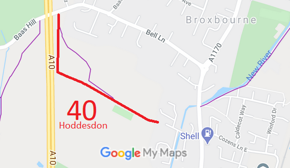
- Hoddesdon 40 RB, from Baas Hil to Cozens Lane West
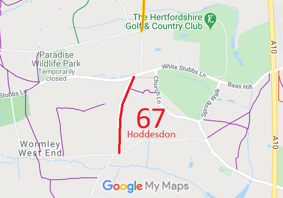
- Hoddesdon 67 RB, from White Stubs Lane to West End Road
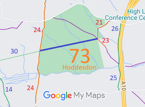
- Hoddesdon 73 Hoddesdon Park Woods (confirmed as BW)
- Hoddesdon 74 Ratty's Lane (order made, awaiting inquiry)

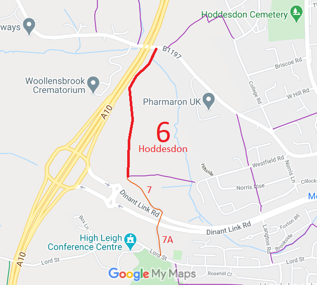
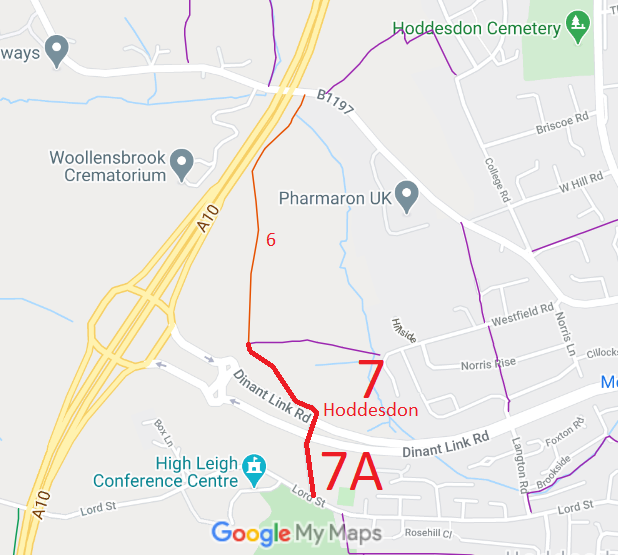
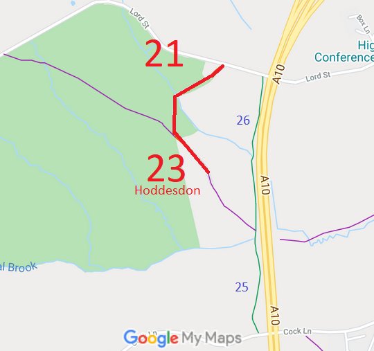
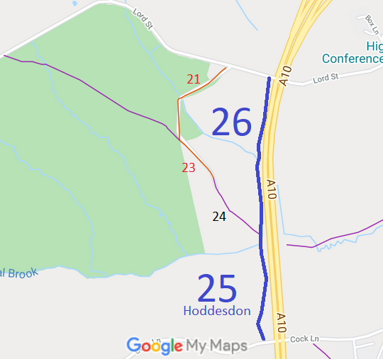
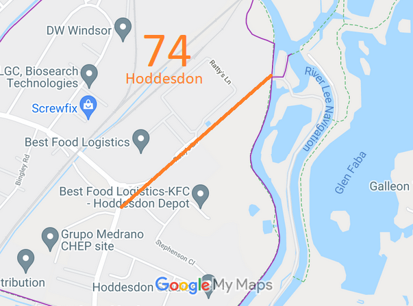
Annotated maps reproduced courtesy of Googlemaps.



 Local Government: Formerly within Hoddesdon Urban District. From 1974, part of Broxbourne Borough.
Inclosure (1841). Inclosure [Hoddesdon and Great Amwell] (1854). Inclosure (Wormley) (1854). Tithe (1842) DSA4/54/2.

