
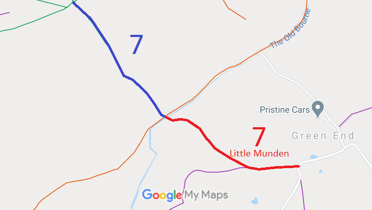
- Little Munden 7 RB/BW, from Green End Lane to Benington 11, 22 and 26 BWs.
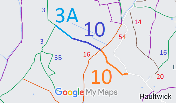
- Little Munden 10 and Walkern 3A BW, from The Street to Walkern 3 BW
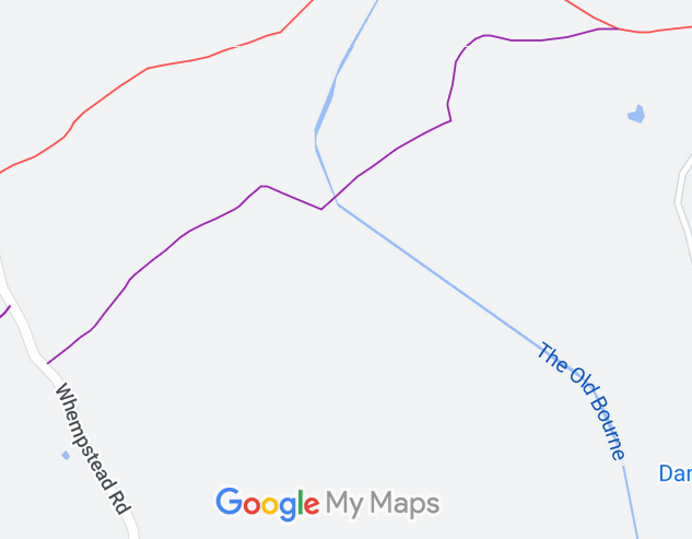
- Little Munden 12 BW [under investigation]
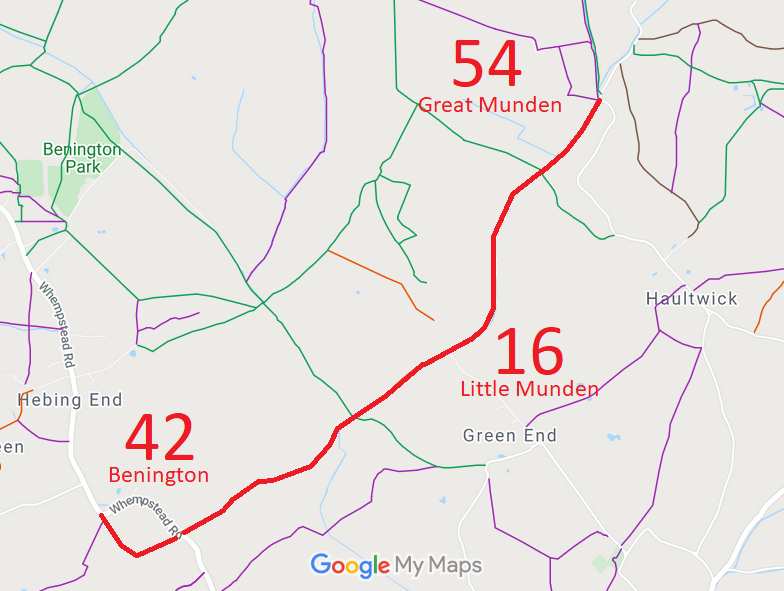
- Little Munden 16, Benington 42 and Great Munden 54 RB
- Little Munden 17 RB, from Benington 26 BW and to former parish boundary
- Little Munden 18 BW, from Walkern 3 BW to former parish boundary
- Little Munden 19 and Walkern 3B BW, from Little Munden 18 BW to Walkern 3 BW
- Little Munden 20 and Great Munden 14 BOAT
- Little Munden 22 and Great Munden 39 BOAT
- Little Munden 23 BOAT
- Little Munden 24 RB
- Little Munden 25 BOAT, Badger Lane, off Whitehill.

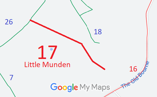
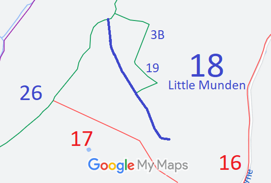
Annotated maps reproduced courtesy of Googlemaps.



 Local Government: Formerly within Ware Rural District. From 1974, part of East Hertfordshire District.
Tithe (1840) DSA4/71/2. Inclosure (1853). Inclosure (1857) [Benington, Aston and Little Munden].

