Patchetts Green Bridleways Trust
 PG: OBJECTS: PROMOTION: South Mimms Dancers Lane
Map showing Dancers Lane, South Mimms
Annotated map reproduced courtesy of Googlemaps.
This route joins bridleway South Mimms 71 (which links to Wash Lane) to South Mimms 72 and then to Dancers Hill Road.

At the time of the BHS 2023 Access Survey (4 Feb 23), there was one set of unopenable gates with a gap to the side (see photograph). At the southern end there was a signpost indicating that the lane led to BW 71 and one indicating the National Cycle Network route.

BHS PGBT As part of the Patchetts Green Bridleways Trust's and the British Horse Society's work to record paths before Path Extinguishment Day, it was spotted that this useful path was not on the definitive map. The historical evidence showed a continuous route, and so an application is being considered.
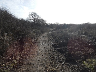
Photograph of Dancers Lane, South Mimms
View from BW 71
Photo: Michael Rackham, 3 Feb 2023
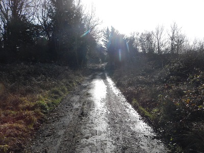
Photograph of Dancers Lane, South Mimms
Continuing southwards
Photo: Michael Rackham, 3 Feb 2023
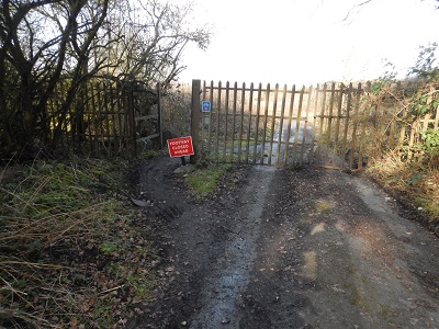
Photograph of Dancers Lane, South Mimms
Continuing southwards, width restriction
Photo: Michael Rackham, 3 Feb 2023
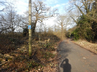
Photograph of Dancers Lane, South Mimms
Continuing SE
Photo: Michael Rackham, 3 Feb 2023
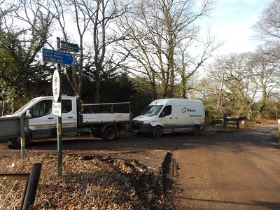
Photograph of Dancers Lane, South Mimms
Looking NW from Dancers Hill Road
Photo: Michael Rackham, 3 Feb 2023

Legal History
29 Aug 1984: The Hertsmere Borough Council (Wash Lane, South Mimms) (Restriction of Driving) Order 1984 prohibited vehicles from much of Wash Lane.
30 Oct 2000: The Hertsmere Borough Council (Wash Lane, South Mimms & Dancers Lane, Barnet) (Restriction of Driving) Order 2000 modified the terms of the 1984 order.
This path is in South Mimms Parish from May 2008, when the South Mimms Parish was created by SI 2008/43.
Definitive Map sheet: 86
Maintainability
This route is maintainable at the public expense because it was a highway before 1835.

© 2024 Patchetts Green Bridleways Trust. File reference: EC316C.

Stats2