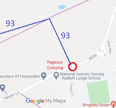
Annotated map reproduced courtesy of Googlemaps.
 This Pegasus crossing is at the junction of St Stephen 93 bridleway and Harper Lane. Coming from St Stephen 93, there is a large holding area. The crossing is the less common unsegregated type of Pegasus. On the southern side of Harper Lane, there is a very wide margin (and cycle track) and a smaller (clearly little used) holding area. The current best route for horses is to turn eastwards along Harper Lane and into the residential area until reaching Lime Way.
It was required as part of the planning obligation when permission was given to convert the former Harperbury Hospital site into residential development known as ‘Kingsley Green’.
The developer also agreed to provide a bridleway within the site to meet Lime Way and hence Shenley 13 bridleway, but the legal work for this has not yet happened.
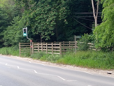
Northern holding area
Photo: Phil Wadey, 6 Jun 2023
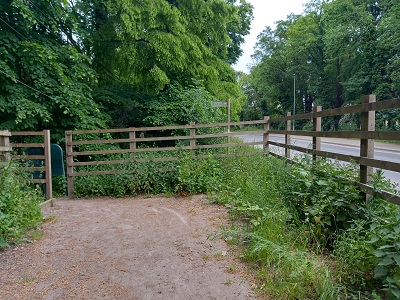
Northern holding area
Photo: Phil Wadey, 6 Jun 2023
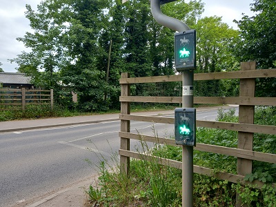
Looking South when Green
Photo: Phil Wadey, 6 Jun 2023
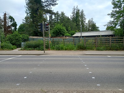
Unsegregated Crossing
Photo: Phil Wadey, 6 Jun 2023
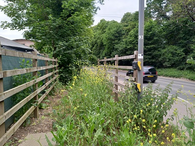
Southern holding area
Photo: Phil Wadey, 6 Jun 2023