Paths Greenways Bridleways Tracks
 PG: OBJECTS: PROMOTION: St Stephen Lime Way  CMP3 
Map showing recorded St Stephen and Shenley paths
Annotated map reproduced courtesy of Googlemaps.
This route starts from Shenley 13 bridleway, and follows a well made track westwards to Lime Way. It follows Lime Way northwards to a junction with Heath Way, which continues west then north to a wide margin that runs along the southern side of Harper Lane to the Pegasus Crossing to St Stephen 93 bridleway.

At the time of the 2023 Access Survey (6 Jun 23), the path was unobstructed and able to be used. There was no public path signage.
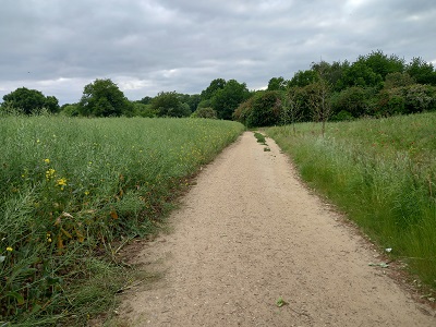
Photograph of Lime Way route
View West from Shenley 13
Photo: Phil Wadey, 6 Jun 2023
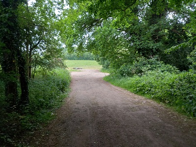
Photograph of Lime Way route
Approaching Lime Way
Photo: Phil Wadey, 6 Jun 2023
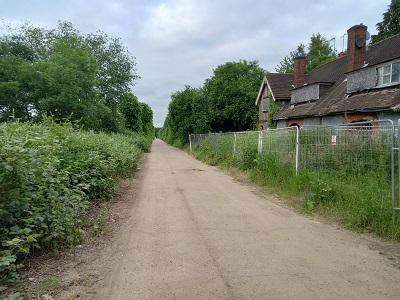
Photograph of Lime Way route
Looking North along Lime Way
Photo: Phil Wadey, 6 Jun 2023
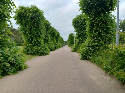
Photograph of Lime Way route
Lime Way
Photo: Phil Wadey, 6 Jun 2023
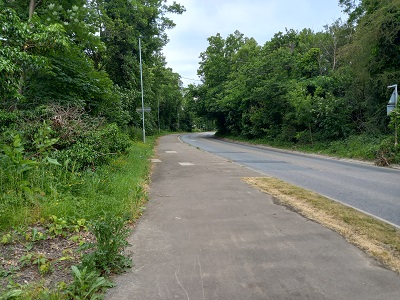
Photograph of Lime Way route
Margin along Harper Lane
Photo: Phil Wadey, 6 Jun 2023

Legal History

© 2023 Patchetts Green Bridleways Trust. File reference: EC378.

Stats2