
- Codicote 3 BW from the High Street to Bury Lane
- Codicote 17 BW Route parallel to Kimpton Road from Heath Hill to near Kimpton Mill
- Codicote 24 BW from Sally Deards Lane to Nup End
- Codicote 25 BW and Hogsnorton Lane, from Sally Deards Lane to Slip Lane
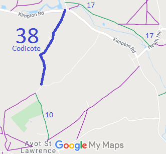
- Codicote 38 BW from Kimpton Road to Tanyard Lane
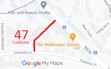
- Codicote 47 RB from High Street to Cowards Lane
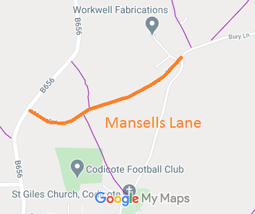
- Codicote Mansells Lane
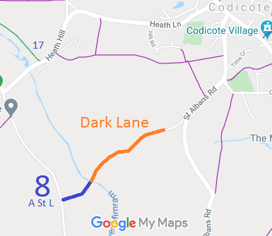
- Codicote Dark Lane

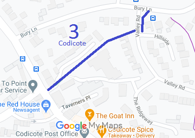
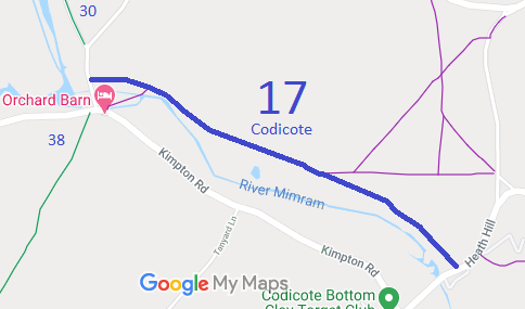
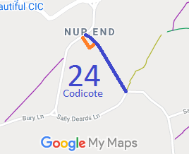
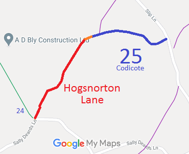
Annotated maps reproduced courtesy of Googlemaps.



 Local Government: Formerly within Hitchin Rural District.
From 1974, part of North Herts District.
Inclosure (1819) [Codicote, Welwyn and Knebworth]. Tithe (1841) DSA4/32/2.

