
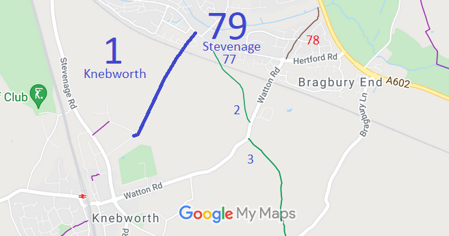
- Knebworth 1 and Stevenage 79 BW, from Oakfield Avenue to Hertford Road
- Knebworth 2 and Stevenage 77 BW, from Badminton Close, Stevenage, to Hertford Road, Knebworth
- Knebworth verge link from Knebworth 2 to Knebworth 3 alongside Watton Road
- Knebworth 3 and Datchworth 24 BW, from Watton Road to Bragbury Lane
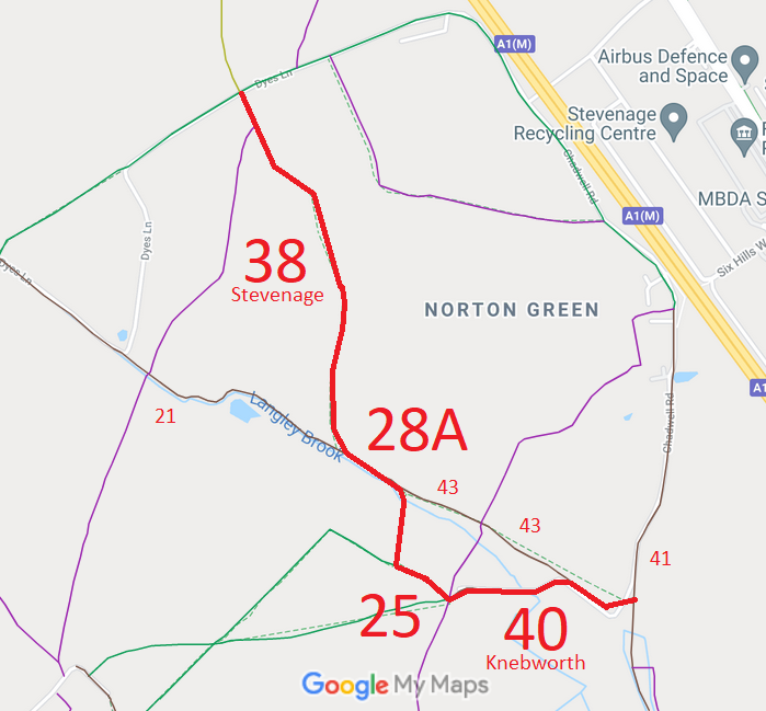
- Knebworth 25 BOAT
- Knebworth 28a BOAT
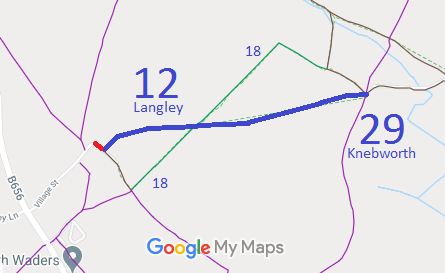
- Knebworth 29 and Langley 12 BW, from Village Street to Knebworth 25 and 40 byways.
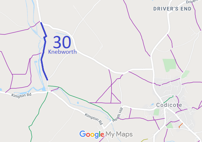
- Knebworth 30 BW
- Knebworth 33 and Langey 7 BW, from Langley Lane to the road that runs between St Pauls Walden and Rusling End
- Knebworth 40 BOAT
- Knebworth 41 and Stevenage 41 BOAT
- Knebworth 43 and Langley 21 BOAT, Dyes Lane



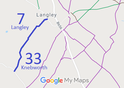

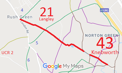
Annotated maps reproduced courtesy of Googlemaps.



 Local Government: Formerly within Hitchin Rural District. From 1974, part of North Hertfordshire District.
Inclosure (1819) [Codicote, Welwyn and Knebworth]. Tithe (1845) Acc 2643. Inclosure (1867) [Datchworth and Knebworth]
 The Knebworth Parish Council has adopted a Neighbourhood Development Plan (2022), which counts as part of the Local Development Plan when planning applications are considered.

