
| PG: OBJECTS: PROMOTION: HERTSMERE: Ridge 41 BW |
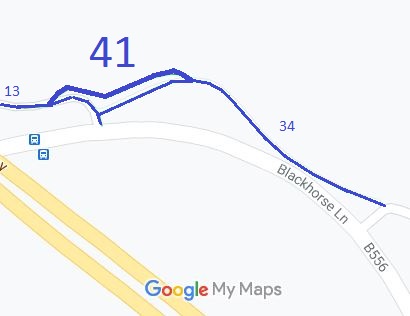 Annotated map reproduced courtesy of Googlemaps. |
This short bridleway provides an alternative route linking bridleways Ridge 13 and Ridge 34.
At the time of the BHS 2023 Access Survey (6 Jan 23), there were no gates or other obstructions across the path. There was a waymark arrow at its eastern end. |
|||
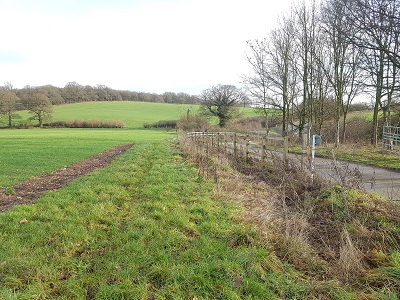 From Ridge 13 looking east Photo: Phil Wadey, 6 Jan 2023 |
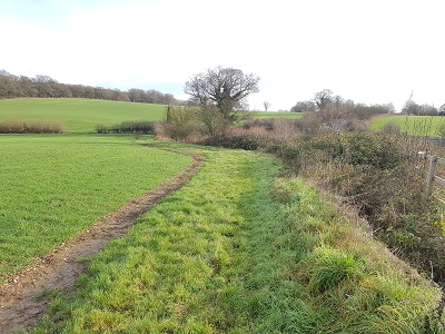 Continuing eastwards Photo: Phil Wadey, 6 Jan 2023 |
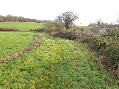 Continuing eastwards Photo: Phil Wadey, 6 Jan 2023 |
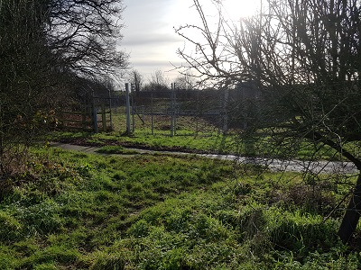 Exit field to Ridge 34 Photo: Phil Wadey, 6 Jan 2023 |
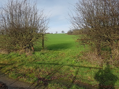 Look back from Ridge 34 Photo: Phil Wadey, 6 Jan 2023 |
| Legal History 2 Jul 2010: The Redwell Wood Farm Public Path Creation Agreement 2010 created this path. 22 Jul 2011: The Hertfordshire County Council (Ridge 13 and Ridge 41) Legal Event Modification Order 2011 added the bridleway dedicated at Redwell Wood Farm in 2010 to the definitive map and statement. |
Definitive Statement (4 Dec 2015)
Path: [Ridge] 41. Status: Bridleway. Definitive Map sheet: 78 Commences at a junction with Ridge BR13 at TL 2097 0218 and continues generally E along the field headland to the immediate north of the bank for approx. 115m to meet Ridge BR34 at TL 2108 0220. Width: 4m Limitations: None |
© 2020 Patchetts Green Bridleways Trust. File reference: EC992.