
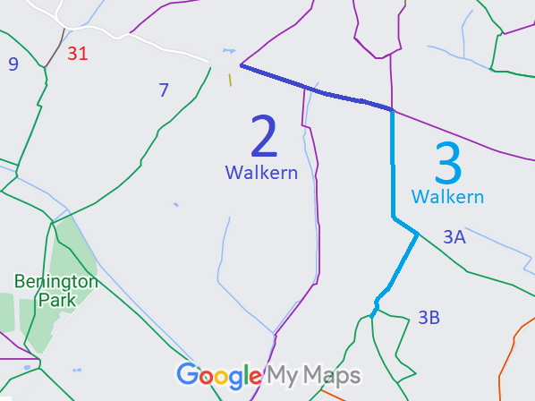
- Walkern 2 and 3 BW
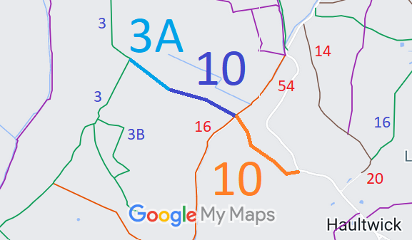
- Walkern 3A and Little Munden 10 BW, from The Street to Walkern 3 BW
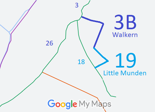
- Walkern 3B and Little Munden 19 BW
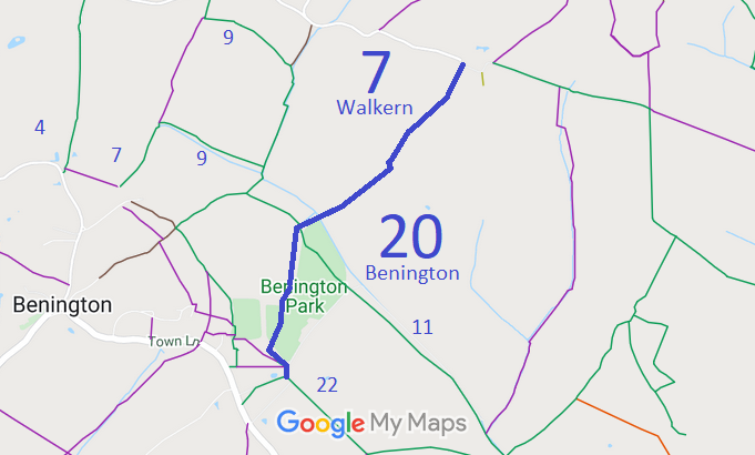
- Walkern 7 and Benington 20 BW
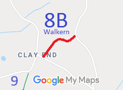
- Walkern 8B BW, from Clay End to Bassus Green.
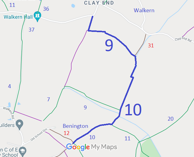
- Walkern 9 and Benington 10 BW, from Clay End to Benington 10 BW.
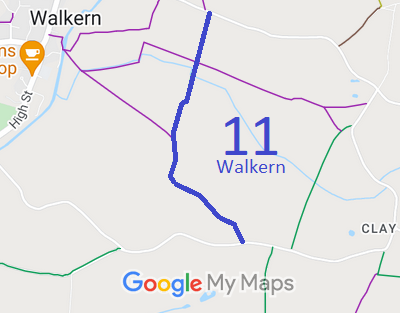
- Walkern 11 BW
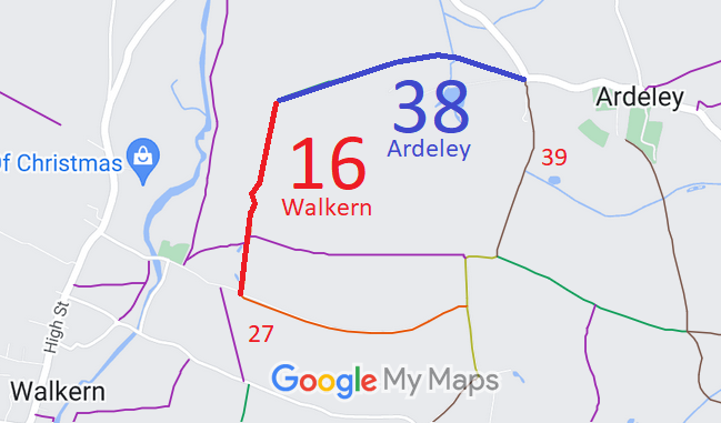
- Walkern 16 RB and Ardeley 38 BW
- Walkern 21 and Benington 1 BW
- Walkern 27 RB
- Walkern 28 and Benington 44 BW
- Walkern 29 BOAT
- Walkern 31 BOAT, from the public road to Walkern 9 BW.
- Walkern 36 BW
- Walkern 37 and Benington 4 and 5 BW
- Walkern 43 and Ardeley 3 BW
- Walkern 10 and Benington 8
- Walkern 25 Dovehouse Lane, from High Street to Weston 33 BW

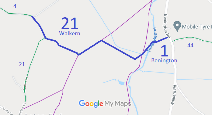
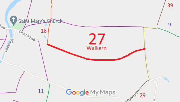
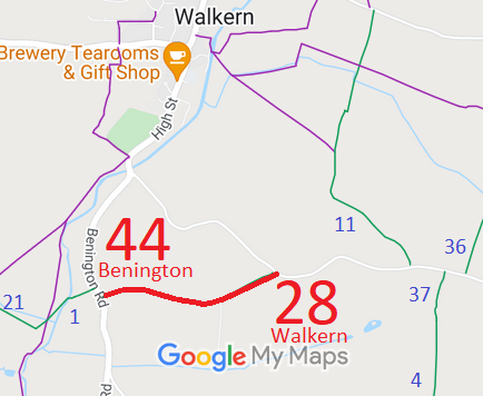
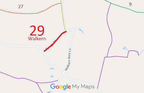
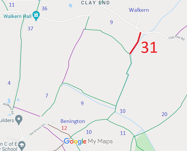
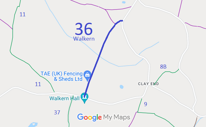
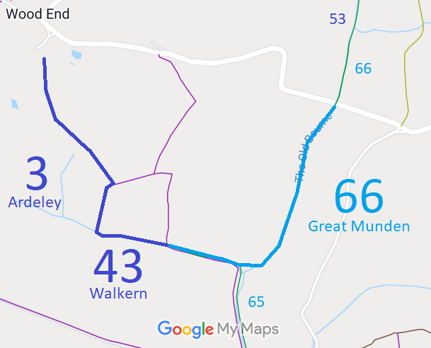
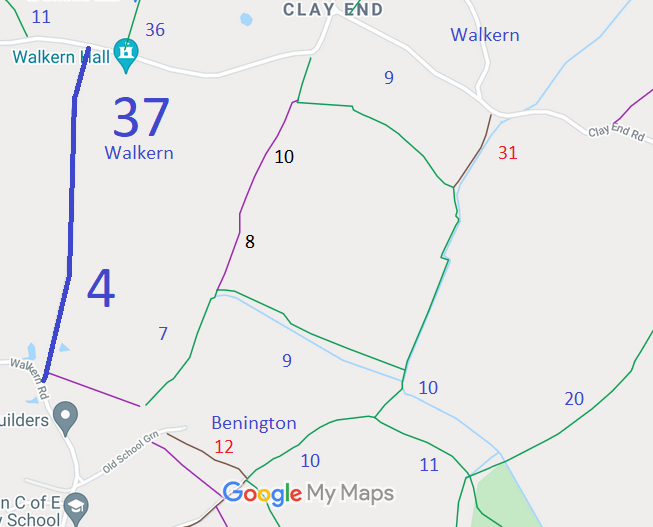
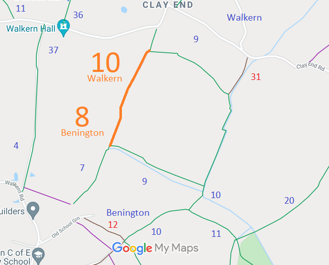
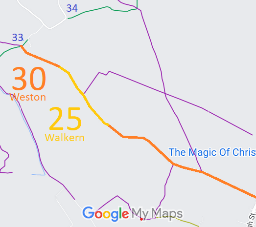
Annotated maps reproduced courtesy of Googlemaps.



 Local Government: Formerly within Hertford Rural District. From 1974, part of East Hertfordshire District.
Tithe (1839) DSA4/108/2. Inclosure (1849).
 The Walkern Parish Council has adopted a Neighbourhood Development Plan (2018), which counts as part of the Local Development Plan when planning applications are considered.

