
- North Mymms 1 BW, from North Mymms 5 to North Mymms 91
- North Mymms 2 BW, from Ridge 10 to St Mary's Church
- North Mymms 3 and Ridge 11 RB, Blackhorse Lane to Mimmshall Wood and N Mymms 83
- North Mymms 4, 'Love Lane' (N Mymms 3 to N Mymms 2)
- North Mymms 5 Byway, From N Mymms 4 to Tollgate Road
- North Mymms 5A Byway, Swanland Road to Warrengate Road
- North Mymms 22 RB, Dellsome Lane to RB 23
- North Mymms 23 RB, RB 22 to A1001
- North Mymms 28 RB, Tollgate Road to edge of A1(M).
- North Mymms 42 Byway, Fox's Lane at right-angled bend thence E to Great North Road (H25)
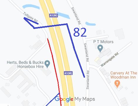
- North Mymms 82 Bridge over A1(M) at Water End (H25)
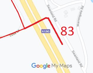
- North Mymms 83 and Potters Bar 79 RB, Bridge over A1(M) (H251) (Aug 07)
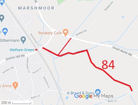
- North Mymms 84 Byway, Fox's Lane (H25) (Jan 12)
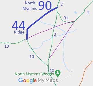
- North Mymms 90 and Ridge 44 Bridleway, from Ridge 10 to North Mymms 2 (Order confirmed)
- North Mymms 91 Bridleway, from North Mymms 1 to North Mymms 2 (Order confirmed)
- North Mymms 92 Part of Dellsome Lane
- North Mymms 93 Dellsome Lane (BW 92) north to South Way (A1001)
- North Mymms Dellsome Lane

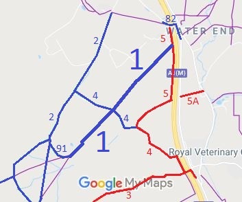
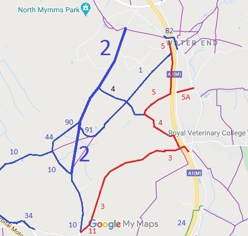
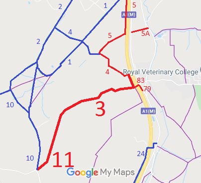
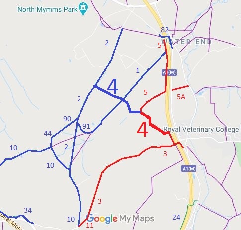
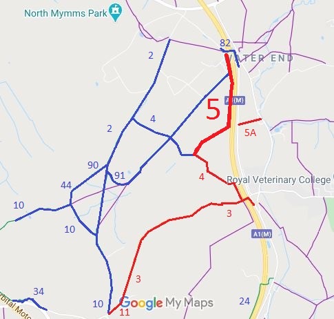
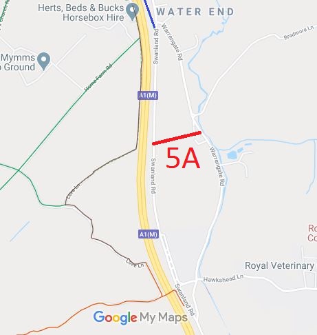
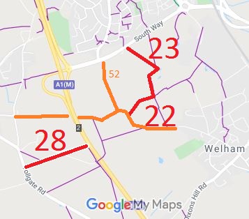
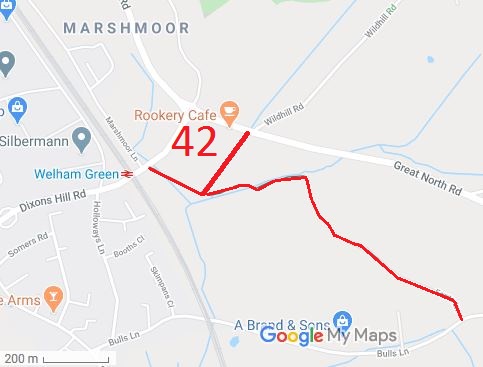
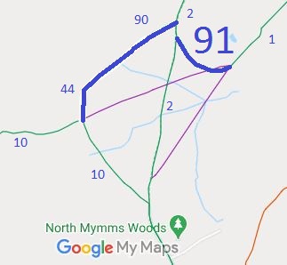
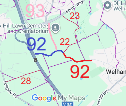
Annotated maps reproduced courtesy of Googlemaps.


 Local Government: Formerly within Hatfield Rural District.
From 1974, part of Welwyn-Hatfield Borough.
Inclosure (1782). Tithe (c1844) DSA4/69/2.

