
2013 Retrospective
Shenley 10
 8 May 2013: The Shenley 10 Creation Agreement 2013 between Mr Cohen (landowner) and the Hertfordshire County Council upgraded the length of the Shenley 10 footpath in Mr Cohen's ownership to bridleway.
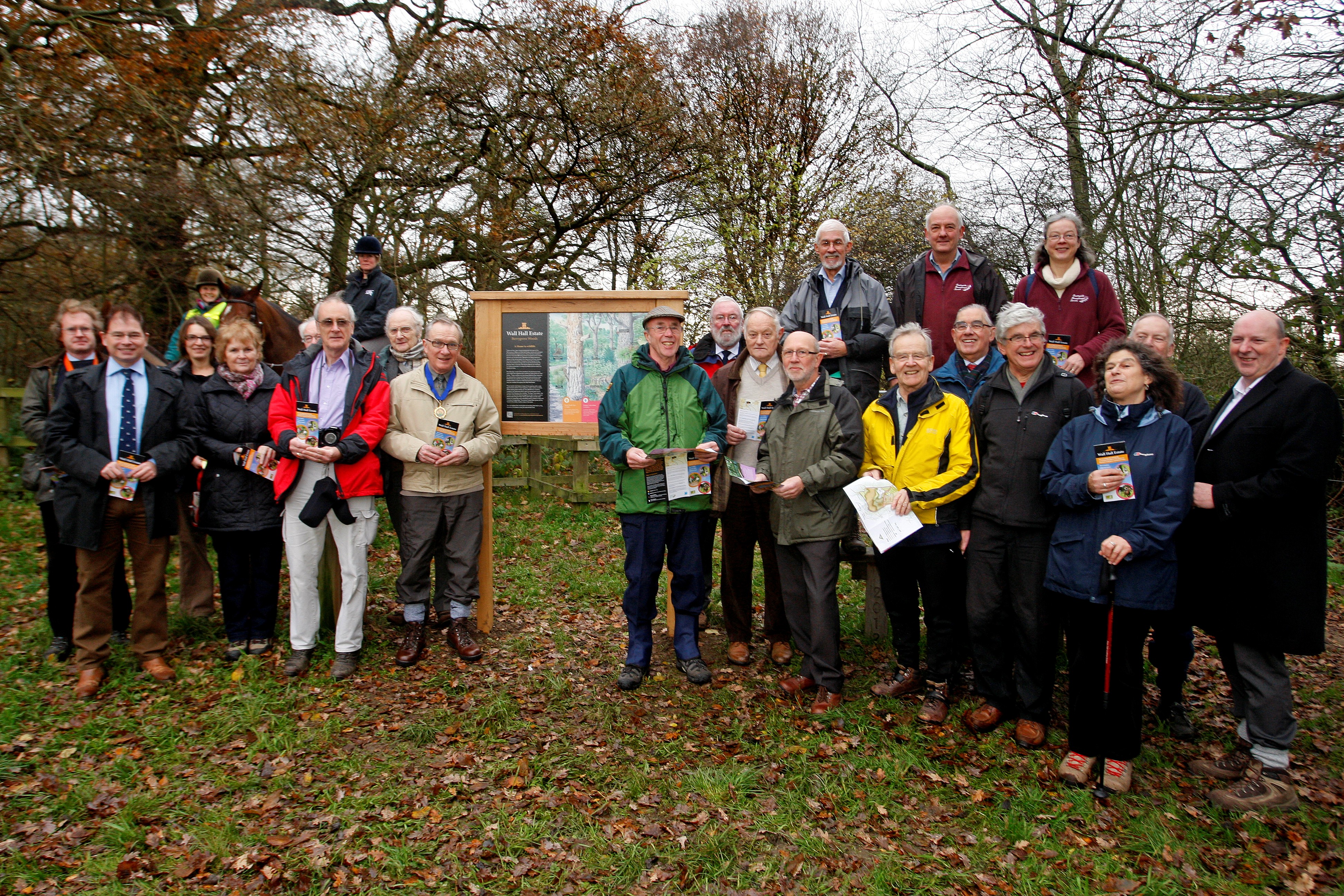
We were delighted when the Chairman of the County Council, Cllr Richard Smith, officially opened the paths, and the publication of circular routes, in and around Aldenham village and the Wall Hall estate.
A leaflet showing three circular routes (one for walkers, two for walkers and riders) has been created by the County Council’s Countryside Management Service, and we are very pleased to be able to include a copy in the Annual Report mailing.
Several of the new paths opened for this project were created by express dedication. This is a method whereby any landowner can just declare a route on his land to be a bridleway. Providing the public then make use of the path, it becomes a public bridleway.
We are indebted to Dawn Grocock of the County Rights of Way Unit, John Hunt from their Rural Estates Office, and colleagues at the Countryside Management Service and Hertsmere Borough Council for completing this project.
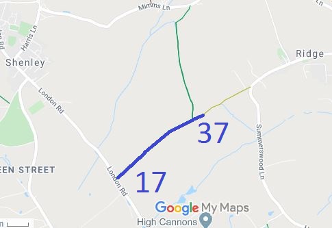
In 2003 we had applied for a path to be recorded from the county road part of Crossoaks Lane through the farmyard to meets Shenley 17 bridleway at the parish boundary. In 1993, the BHS had applied to record a route joining this one, running north as part of the historic line of Packhorse Lane. Both paths were covered by an order made late in 2009. The case for confirmation of the Order was heard by an Inspector for the Secretary of State in January 2013.
We were successful in getting the sole remaining objector to accept the case, and the order was confirmed on 22 January. This provides conclusive proof of the link from Shenley 17 to the road to Ridge, and the link from Crossoaks Lane north to Mimms Lane.
The farmer has now constructed a route close to the ancient historic line and is in the process of applying for a formal diversion of the old route to the new. We will be supporting the principle of this diversion, but will be watching to ensure that the width, safety aspects near cattle grids and authorised path furniture meet current standards.

The Hertfordshire County Council (Ardeley 3, 52 and 53, Great Munden 65, 66 and 67 and Walkern 43) Modification Order 2012, made 20 Jan 2012, proposes to record these several paths as restricted byways.
The Hertfordshire County Council (Hatfield 186 and Sandridge 54) Modification Order 2012, made 16 Nov 2012, will if confirmed, show a route from the road between Fairfold’s Farm and Suttons Farm, to Coopers Green Lane in the Parish of Sandridge, as a restricted byway.

© 2025 Patchetts Green Bridleways Trust.
